Rosedale, Mercer County, New Jersey
| Rosedale, New Jersey | |
|---|---|
| Unincorporated community | |
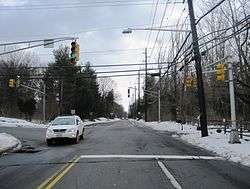 Rosedale as seen from southbound Carter Road (CR 569) | |
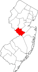
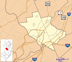 Rosedale, New Jersey Location of Rosedale in Mercer County Inset: Location of county within the state of New Jersey  Rosedale, New Jersey Rosedale, New Jersey (New Jersey)  Rosedale, New Jersey Rosedale, New Jersey (the US) | |
| Coordinates: 40°20′17″N 74°43′19″W / 40.33806°N 74.72194°WCoordinates: 40°20′17″N 74°43′19″W / 40.33806°N 74.72194°W | |
| Country |
|
| State |
|
| County | Mercer |
| Township | Lawrence |
| Elevation[1] | 177 ft (54 m) |
| GNIS feature ID | 879817[1] |
Rosedale is an unincorporated community located within Lawrence Township in Mercer County, New Jersey, United States.[2] The community is centered on the intersection of Carter Road (County Route 569) and Rosedale Road (CR 604). Educational Testing Service's headquarters are located in the northeastern quadrant of the intersection.
References
- 1 2 "Rosedale". Geographic Names Information System. United States Geological Survey.
- ↑ Locality Search, State of New Jersey. Accessed January 9, 2015.
This article is issued from
Wikipedia.
The text is licensed under Creative Commons - Attribution - Sharealike.
Additional terms may apply for the media files.