East Trenton Heights, New Jersey
| East Trenton Heights, New Jersey | |
|---|---|
| Unincorporated community | |
 | |
 East Trenton Heights, New Jersey Location of East Trenton Heights in Mercer County Inset: Location of county within the state of New Jersey  East Trenton Heights, New Jersey East Trenton Heights, New Jersey (New Jersey)  East Trenton Heights, New Jersey East Trenton Heights, New Jersey (the US) | |
| Coordinates: 40°15′31″N 74°42′36″W / 40.25861°N 74.71000°WCoordinates: 40°15′31″N 74°42′36″W / 40.25861°N 74.71000°W | |
| Country |
|
| State |
|
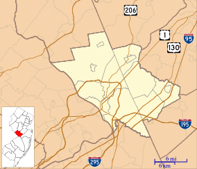
| County | Mercer |
| Township | Hamilton |
| Elevation[1] | 59 ft (18 m) |
| GNIS feature ID | 876070[1] |
East Trenton Heights is an unincorporated community within Hamilton Township in Mercer County, New Jersey, United States.[2] The area is made up of residential single-family homes, but development on the site of the former American Standard factory is bringing condominiums and commercial offices to the area. The Hamilton train station on the Northeast Corridor railroad line is in the area of East Trenton Heights. Sloan Avenue and Sweet Briar Avenue (County Route 649) is the main east-west road through the area and provides access to the nearby Interstate 295.[2]
References
- 1 2 "East Trenton Heights". Geographic Names Information System. United States Geological Survey.
- 1 2 Google (January 9, 2015). "East Trenton Heights, New Jersey" (Map). Google Maps. Google. Retrieved January 9, 2015.
This article is issued from
Wikipedia.
The text is licensed under Creative Commons - Attribution - Sharealike.
Additional terms may apply for the media files.