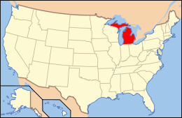
National Register of Historic Places listings in St. Clair County, Michigan
The following is a list of Registered Historic Places in St. Clair County, Michigan.
- This National Park Service list is complete through NPS recent listings posted October 4, 2018.[1]
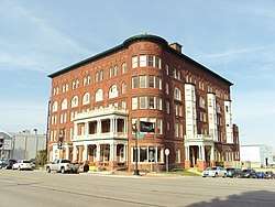
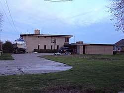
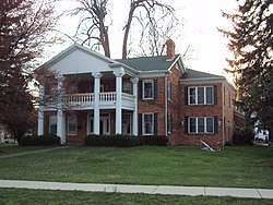
.jpg)
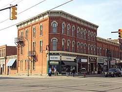
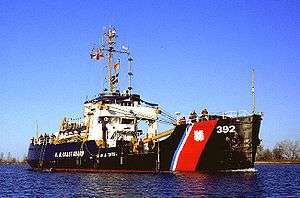
.jpg)
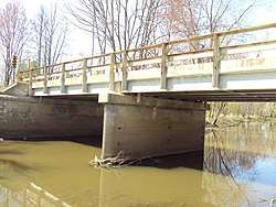
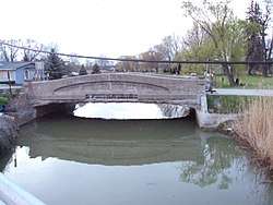
.jpg)
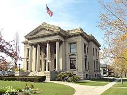
.jpg)
Listings Formerly Located in St. Clair County
The following listings were located in St. Clair County at the time they were placed on the Register, but have since moved to other locations.
| Name on the Register |
Image | Date listed | Current Location | Location when Listed | Description | |
|---|---|---|---|---|---|---|
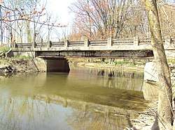
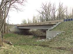
| 1 | Indian Trail Road–Belle River Bridge | January 28, 2000 (#00000012) |
Steel Bridge Research, Inspection, Training and Engineering Center, S. Sharon Chapel Rd., West Lafayette, Indiana 40°24′31″N 86°57′02″W / 40.40875°N 86.950556°W |
Indian Trail Rd. over Belle River 42°46′30″N 82°32′58″W | Removed and replaced in 2008, then moved to West Lafayette, Indiana in 2015.[9] |
See also
| Wikimedia Commons has media related to National Register of Historic Places in St. Clair County, Michigan. |
References
- ↑ "National Register of Historic Places: Weekly List Actions". National Park Service, United States Department of the Interior. Retrieved on October 4, 2018.
- ↑ Numbers represent an ordering by significant words. Various colorings, defined here, differentiate National Historic Landmarks and historic districts from other NRHP buildings, structures, sites or objects.
- ↑ National Park Service (2008-04-24). "National Register Information System". National Register of Historic Places. National Park Service.
- ↑ The eight-digit number below each date is the number assigned to each location in the National Register Information System database, which can be viewed by clicking the number.
- ↑ The NRIS lists Fort Gratiot as "Address Restricted," but a historical marker placed along Thomas Edison Parkway, and historical atlases, indicate the location. Geo-coordinates are approximate.
- ↑ Oliver F. Waegon (1871), Combination Atlas Map of St. Clair County (PDF), Everts & Stewart, p. 22
- ↑ Bob Gross (April 7, 2015). "County had 83 'deficient' bridges in 2014". Times Herald.
- ↑ "Wadhams Road Bridge". HistoricBridges.org. Retrieved November 20, 2017.
- ↑ Bob Gross (April 11, 2015). "Old China Township bridge is going to Purdue". The Times Herald.
| Lists by county |
|   |
|---|---|---|
| Other lists |
| |
| Topics |  | |
|---|---|---|
| Historic places in central city | ||
| Historic places by county in MSA | ||
| Historic places by county in CSA | ||
| Topics | |
|---|---|
| Lists by states |
|
| Lists by insular areas | |
| Lists by associated states | |
| Other areas | |
| |
This article is issued from
Wikipedia.
The text is licensed under Creative Commons - Attribution - Sharealike.
Additional terms may apply for the media files.