| [3] |
Name on the Register |
Image |
Date listed[4] |
Location |
City or town |
Description |
|---|
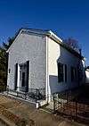
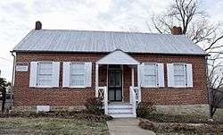
| 1 |
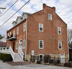
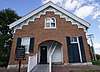
African Church |
|
November 21, 1980
(#80004366) |
554 Madison St.
38°46′57″N 90°29′17″W / 38.7825°N 90.488056°W / 38.7825; -90.488056 (African Church) |
St. Charles |
|
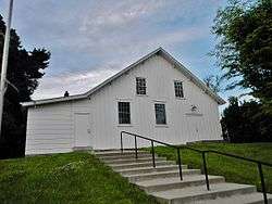
| 2 |
Augusta Harmonie Verein |
|
January 20, 1995
(#94001554) |
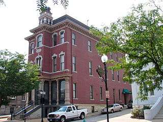
Junction of Hackman and Church Rds.
38°34′32″N 90°52′44″W / 38.575556°N 90.878889°W / 38.575556; -90.878889 (Augusta Harmonie Verein) |
Augusta |
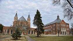
|
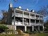
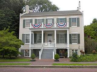
| 3 |
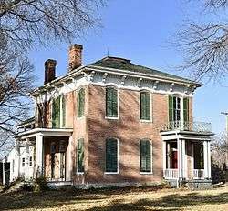
Daniel Boone Home |
|
April 11, 1973
(#73002175) |
Hwy. F
38°39′06″N 90°51′14″W / 38.651667°N 90.853889°W / 38.651667; -90.853889 (Daniel Boone Home) |
Defiance |
|
| 4 |
Commons Neighborhood Historic District |
|
April 10, 2017
(#100000851) |
Roughly bounded by Benton Ave., Clark, 5th, Randolph, Kingshighway, 7th & 6th Sts.
38°47′23″N 90°29′06″W / 38.789840°N 90.484966°W / 38.789840; -90.484966 (Commons Neighborhood Historic District) |
St. Charles |
|
| 5 |
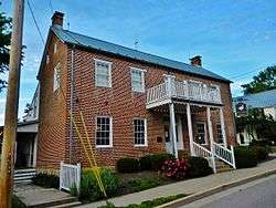
Robert Ewich Farmstead |
|
January 20, 1995
(#94001556) |
5336 Hackman Rd.
38°34′30″N 90°52′40″W / 38.575°N 90.877778°W / 38.575; -90.877778 (Robert Ewich Farmstead) |
Augusta |
|
| 6 |
Charles McLee Farris House |
|
January 20, 1995
(#94001559) |
5517 High St.
38°34′18″N 90°52′58″W / 38.571667°N 90.882778°W / 38.571667; -90.882778 (Charles McLee Farris House) |
Augusta |
|
| 7 |
First Missouri State Capitol Buildings |
|
April 16, 1969
(#69000313) |
208-216 S. Main St.
38°46′47″N 90°28′53″W / 38.779722°N 90.481389°W / 38.779722; -90.481389 (First Missouri State Capitol Buildings) |
St. Charles |
|
| 8 |
Frenchtown Historic District |
|
March 14, 1991
(#91000216) |
Roughly bounded by N. Fifth, Clark and French Sts. and the Missouri R.
38°47′19″N 90°28′48″W / 38.788611°N 90.48°W / 38.788611; -90.48 (Frenchtown Historic District) |
St. Charles |
|
| 9 |
Dr. C. L. Gerling House |
|
January 20, 1995
(#94001558) |
245 Lower St.
38°34′22″N 90°52′56″W / 38.572778°N 90.882222°W / 38.572778; -90.882222 (Dr. C. L. Gerling House) |
Augusta |
|
| 10 |
Harold-Knoernschild Farmstead Historic District |
|
September 29, 1994
(#94001145) |
199 Jackson St.
38°34′25″N 90°53′04″W / 38.573611°N 90.884444°W / 38.573611; -90.884444 (Harold-Knoernschild Farmstead Historic District) |
Augusta |
|
| 11 |
Daniel Boone Hays House |
|
April 23, 1973
(#73002176) |
SW of Defiance off Hwy. F
38°37′18″N 90°49′19″W / 38.621667°N 90.821944°W / 38.621667; -90.821944 (Daniel Boone Hays House) |
Defiance |
|
| 12 |
Lindenwood Hall |
|
November 29, 1978
(#78003131) |
Lindenwood Colleges campus
38°47′14″N 90°29′58″W / 38.787222°N 90.499444°W / 38.787222; -90.499444 (Lindenwood Hall) |
St. Charles |
|
| 13 |
Lindenwood Neighborhood Historic District |
|
October 17, 2016
(#16000728) |
Roughly bounded by Watson, Gamble, Sibley & Elm Sts. & alley between Houston & N. Kingshighway
38°47′18″N 90°29′45″W / 38.788303°N 90.495854°W / 38.788303; -90.495854 (Lindenwood Neighborhood Historic District) |
St. Charles |
|
| 14 |
Oliver L. and Catherine Link House |
|
August 6, 2013
(#13000584) |
1005 Jefferson
38°47′05″N 90°29′35″W / 38.784774°N 90.493085°W / 38.784774; -90.493085 (Oliver L. and Catherine Link House) |
St. Charles |
|
| 15 |
Marten-Becker House |
|
October 11, 1979
(#79003200) |
837 First Capitol Dr.
38°46′55″N 90°29′27″W / 38.781944°N 90.490833°W / 38.781944; -90.490833 (Marten-Becker House) |
St. Charles |
|
| 16 |
Isaac McCormick House |
|
September 10, 2004
(#04000960) |
705 MO F
38°38′28″N 90°48′18″W / 38.641111°N 90.805°W / 38.641111; -90.805 (Isaac McCormick House) |
Defiance |
|
| 17 |
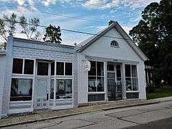
Meier General Store |
|
July 12, 2002
(#02000794) |
3669 Mill St.
38°42′43″N 90°52′47″W / 38.711944°N 90.879722°W / 38.711944; -90.879722 (Meier General Store) |
New Melle |
|
| 18 |
Mindrup House-Store |
|
January 20, 1995
(#94001557) |
5543 Water St.
38°34′13″N 90°53′01″W / 38.570278°N 90.883611°W / 38.570278; -90.883611 (Mindrup House-Store) |
Augusta |
|
| 19 |
Midtown Neighborhood Historic District |
|
October 29, 2014
(#14000885) |
Roughly bounded by Clark, Madison, Jefferson, Kingshighway, 2nd & 3rd Sts.
38°47′00″N 90°29′00″W / 38.7833°N 90.4833°W / 38.7833; -90.4833 (Midtown Neighborhood Historic District) |
St. Charles |
|
| 20 |
Mt. Pleasant Winery Historic District |
|
September 29, 1994
(#94001144) |
5634 High St.
38°34′13″N 90°52′30″W / 38.570278°N 90.875°W / 38.570278; -90.875 (Mt. Pleasant Winery Historic District) |
Augusta |
|
| 21 |
Newbill-McElhiney House |
|
April 11, 1972
(#72001489) |
625 S. Main St.
38°46′35″N 90°29′02″W / 38.776389°N 90.483889°W / 38.776389; -90.483889 (Newbill-McElhiney House) |
St. Charles |
|
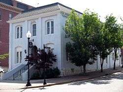
| 22 |
Old City Hall |
|
November 14, 1980
(#80004367) |
Central Ave. and Main St.
38°46′51″N 90°28′54″W / 38.780833°N 90.481667°W / 38.780833; -90.481667 (Old City Hall) |
St. Charles |
|
| 23 |
St. Charles Historic District |
|
September 22, 1970
(#70000856) |
Roughly, Main St. from Adams St. on the north to Boone's Lick Rd. on the south, east to the Missouri river, west to 2nd St.
38°46′33″N 90°28′41″W / 38.775833°N 90.478056°W / 38.775833; -90.478056 (St. Charles Historic District) |
St. Charles |
A historic district with over 100 contributing buildings. Originally listed on September 22, 1970 with increases on June 4, 1987, May 1, 1991 and October 10, 1996 |
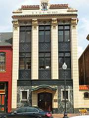
| 24 |
St. Charles Odd Fellows Hall |
|
April 13, 1987
(#87000569) |
117 S. Main
38°46′50″N 90°28′54″W / 38.780556°N 90.481667°W / 38.780556; -90.481667 (St. Charles Odd Fellows Hall) |
St. Charles |
|
| 25 |
St. Mary's Institute of O'Fallon |
|
October 26, 2007
(#07001106) |
204 N. Main St.
38°48′49″N 90°42′07″W / 38.8134818°N 90.7020721°W / 38.8134818; -90.7020721 (St. Mary's Institute of O'Fallon) |
O'Fallon |
|
| 26 |
St. Paul's Church |
|
September 9, 1982
(#82004713) |
SR D
38°42′31″N 90°52′56″W / 38.708611°N 90.882222°W / 38.708611; -90.882222 (St. Paul's Church) |
New Melle |
|
| 27 |
J. F. Schroer House-Store |
|
January 20, 1995
(#94001555) |
252 Lower St.
38°34′21″N 90°52′53″W / 38.5725°N 90.881389°W / 38.5725; -90.881389 (J. F. Schroer House-Store) |
Augusta |
|
| 28 |
August Sehrt House |
|
September 29, 1994
(#94001143) |
275 Webster St.
38°34′17″N 90°53′09″W / 38.571389°N 90.885833°W / 38.571389; -90.885833 (August Sehrt House) |
Augusta |
|
| 29 |
Staudinger-Grumke House-Store |
|
May 28, 1992
(#92000504) |
5503 Locust St.
38°34′27″N 90°52′47″W / 38.574167°N 90.879722°W / 38.574167; -90.879722 (Staudinger-Grumke House-Store) |
Augusta |
|
| 30 |
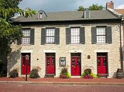
Stone Row |
|
July 29, 1969
(#69000314) |
314-330 S. Main St.
38°46′45″N 90°28′56″W / 38.779167°N 90.482222°W / 38.779167; -90.482222 (Stone Row) |
St. Charles |
|
| 31 |
Dr. John H. Stumberg House |
|
July 12, 1978
(#78003132) |
100 S. 3rd St.
38°46′53″N 90°29′00″W / 38.781389°N 90.483333°W / 38.781389; -90.483333 (Dr. John H. Stumberg House) |
St. Charles |
|
| 32 |
Walnut Street Historic District |
|
September 29, 1994
(#94001142) |
Walnut and S side of Locust Sts. between Jackson and Lower Sts.
38°34′26″N 90°52′53″W / 38.573889°N 90.881389°W / 38.573889; -90.881389 (Walnut Street Historic District) |
Augusta |
|
| 33 |
Samuel Stewart Watson House |
|
September 23, 1982
(#82004714) |
205 S. Duchesne Dr.
38°47′39″N 90°30′16″W / 38.794167°N 90.504444°W / 38.794167; -90.504444 (Samuel Stewart Watson House) |
St. Charles |
|
| 34 |
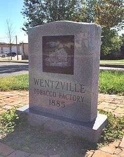
Wentzville Tobacco Company Factory |
|
July 5, 1990
(#90001024) |
406 South Elm St.
38°48′37″N 90°51′05″W / 38.810278°N 90.851389°W / 38.810278; -90.851389 (Wentzville Tobacco Company Factory) |
Wentzville |
|
.jpg)