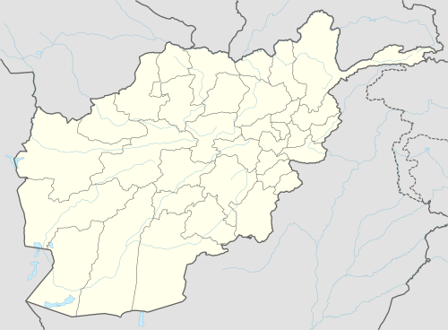
Khulm District
| Khulm خُلم | |
|---|---|
| District | |
 Khulm Location within Afghanistan[1] | |
| Coordinates: 36°48′36″N 67°44′24″E / 36.81000°N 67.74000°ECoordinates: 36°48′36″N 67°44′24″E / 36.81000°N 67.74000°E | |
| Country |
|
| Province | Balkh Province |
| Area | |
| • Total | 3,043 km2 (1,175 sq mi) |
| Population (2012) | |
| • Total | 68,900 |
Khulm or Khulmi (Dari: خُلم) (see Kholm, Afghanistan) is a district of Balkh Province, Afghanistan.[2]
District profile:[3]
- Villages: 91
- Education: 7 primary, 13 secondary, 7 high schools
- Health centers: 2 basic, 2 comprehensive
References
- ↑ "District Names". National Democratic Institute. Retrieved 28 July 2015.
- ↑ "Settled Population of Balkh Province" (PDF). Central Statistics Organisation. Retrieved 28 July 2015.
- ↑ "Summary of District Development Plan" (PDF). Khulm District Development Assembly. Retrieved 28 July 2015.
External links
- Summary of District Development Plan July 2009
This article is issued from
Wikipedia.
The text is licensed under Creative Commons - Attribution - Sharealike.
Additional terms may apply for the media files.