Khani Chahar Bagh District
| Khani Chahar Bagh خان چارباغ | |
|---|---|
| District | |
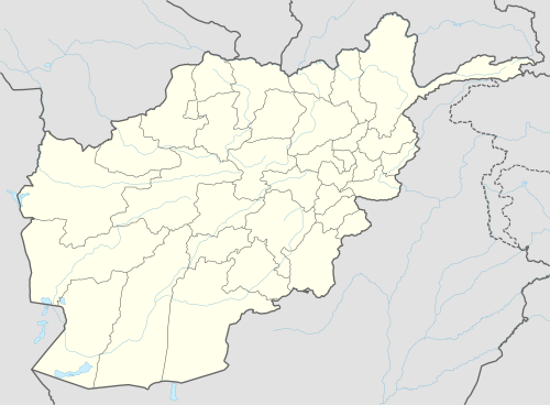
 Khani Chahar Bagh Location within Afghanistan[1] | |
| Coordinates: 37°07′N 65°14′E / 37.11°N 65.23°ECoordinates: 37°07′N 65°14′E / 37.11°N 65.23°E | |
| Country |
|
| Province | Farah |
| Elevation | 278 m (912 ft) |
| Population (2009)[2] | |
| • Total | 22,200 |
Khani Chahar Bagh is the most northerly district in Faryab Province. The main village, Chahar Bagh 37°02′40″N 65°13′51″E / 37.0444°N 65.2308°E, is in the southern part of the district. In the north the district's border is with Turkmenistan. The population in 2002 was estimated at 22,000. Ethnic composition includes 40% Turkman and 60% Uzbek.[3]
References
- ↑ "District Names". National Democratic Institute. Retrieved 30 September 2015.
- ↑ "Afghanistan Election Data". National Democratic Institute. Retrieved 30 September 2015.
- ↑ "District Profile" (PDF). UNHCR. Retrieved 30 September 2015.
External links
- District Profile UNHCR, July 2002
- Map of Settlements IMMAP, 2011
This article is issued from
Wikipedia.
The text is licensed under Creative Commons - Attribution - Sharealike.
Additional terms may apply for the media files.