Jaghatū District
| Jaghatū جغتو | |
|---|---|
| District | |
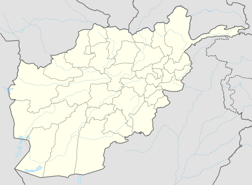
 Jaghatū Location within Afghanistan | |
| Coordinates: 33°34′38″N 68°11′08″E / 33.57722°N 68.18556°ECoordinates: 33°34′38″N 68°11′08″E / 33.57722°N 68.18556°E | |
| Country |
|
| Province | Ghazni Province |
| Population [1] | |
| • Estimate (2002) | 132,265 |
Jaghatu District (Dari: جغتو), (alternatively Waeez Shahid District and Bahrami Shahid) is one of the largest and most populated district of Ghazni Province in Afghanistan, west of the city of Ghazni. The ethnic composition of the district includes 73% Hazara and 27% Pashtun.[1]
Agriculture consist of:[1]
- the main crops of wheat, potatoes, clovers and alfalfa.
- sheep, goats, cows, donkeys and poultry.
See also
References
- 1 2 3 "District Profile" (PDF). UNHCR. Retrieved 26 October 2015.
External links
- Map of Settlements AIMS, May 2002
This article is issued from
Wikipedia.
The text is licensed under Creative Commons - Attribution - Sharealike.
Additional terms may apply for the media files.