Gleasondale, Massachusetts
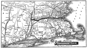
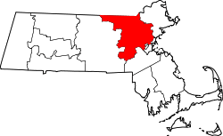
Gleasondale is a village straddling the border between the towns of Hudson and Stow in Middlesex County, Massachusetts, United States. According to the Geographic Names Information System (GNIS),[1] Gleasondale is a "populated place," named after Benjamin W. Gleason and Samuel J. Dale. Until its closure in 1965, the Gleasondale Station — one of two train stations in Hudson — served the village. It was originally operated by the Central Massachusetts Railroad Company, and later by Boston & Maine. The station's name is printed as "Rocky-bottom" in the 1888 map of the Central Massachusetts Railroad.
This settlement began around 1750 with the construction of a dam and lumber mill on the Assabet River. The area was originally known as Randall's Mills. In 1813, the Rock Bottom Cotton & Woolen Company built a wood-framed textile mill at Randall's Mills and the emerging village and new post office became known as Rock Bottom. The current five-story brick mill building was built in 1854 after the original wooden building burned. The name of the village was changed to Gleasondale in 1898. Today, Gleasondale has a few residential buildings, plus a small industrial complex in the old mill buildings. It does not have a large enough population to support a post office, and uses the same zip code as Stow, 01775. The dam remains, even though it no longer provides hydropower.
Notes
- ↑ "Gleasondale". Geographic Names Information System. United States Geological Survey. Retrieved 2009-05-04.
External links
Coordinates: 42°24′22″N 71°31′36″W / 42.4062°N 71.5267°W