Ponta da Fragata
| Ponta da Fragata | |
|---|---|
 | |
 | |
| Location | Eastern Sal, Cape Verde |
| Coordinates | 16°38′42″N 22°53′8″W / 16.64500°N 22.88556°WCoordinates: 16°38′42″N 22°53′8″W / 16.64500°N 22.88556°W |
| Offshore water bodies | Atlantic Ocean |
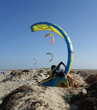
Ponta da Fragata (Portuguese meaning "tip of the frigate") is a headland on the east coast of the island of Sal, Cape Verde. It is situated at the southern end of the Serra Negra mountain, 6 km northeast of the town Santa Maria. To the south of the headland stretches the Costa da Fragata, a 4.7 km long sandy beach which is a protected nature reserve, important as nesting area for loggerhead sea turtles.[1] The nature reserve covers 3.46 km2 (1.34 sq mi) of land and 23.47 km2 (9.06 sq mi) of ocean.[2]
See also
References
- ↑ Reservas Naturais, Áreas protegidas Cabo Verde
- ↑ Resolução nº 36/2016, Estratégia e Plano Nacional de Negócios das Áreas Protegidas
The island of Sal, Cape Verde | ||
|---|---|---|
| Settlements | 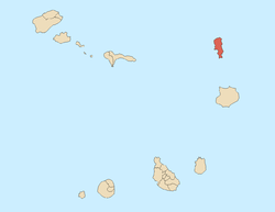 | |
| Mountains and hills | ||
| Points and promontories | ||
| Lighthouses | ||
| Other geographical features | ||
| Other topics | ||
This article is issued from
Wikipedia.
The text is licensed under Creative Commons - Attribution - Sharealike.
Additional terms may apply for the media files.