Chinchpokli
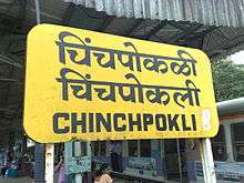
Chinchpokli (Marathi: चिंचपोकळी) is a neighbourhood in South Mumbai. It is also the name of a railway station on the Central line of the Mumbai suburban railway. Historical British era spellings include Chinchpugli and Chinchpooghly.[1] The neighbourhood is named after the Marathi words for tamarind (chinch), and betel nut (pofali).[2][3][4]
History
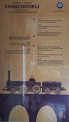
The Chinchpokli Railway station was opened in 1877.[5] There is an old Jewish Cemetery built by Elias David Sassoon in 1878 which lies parallel to the railway tracks.[6] In 1896, during the Bombay plague epidemic, the Chinchpokli Station was converted into medical transit place.[5] The Road bridge over the railway track, known as Arthur Bridge was built in 1915.[7] Kasturba Hospital run by Municipal Corporation is located in Chinchpokli West.[8][9] Opposite to this hospital lies the Mumbai Central Prison, also referred to as Arthur Road Jail. It was built in 1926. [10]
References
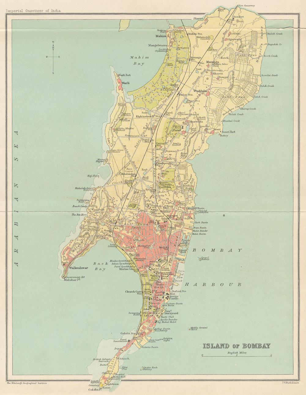
- ↑ http://dsal.uchicago.edu/maps/gazetteer/images/gazetteer_V8_bc.jpg Map of Old mumbai, Published in Imperial gazetteer of India showing the name of the suburb as Chinchpugli
- ↑ Don Pendleton (2014). Jungle Firestorm. Gold Eagle. p. 51. ISBN 978-0-373-61566-7.
- ↑ Mehta, Suketu (2006). Maximum city: Bombay lost and found. Penguin Books India. p. 140. ISBN 978-0-14-400159-0.
- ↑ Virani, Pinki (1 March 2001). Once Was Bombay. Penguin Books Limited. p. 41. ISBN 978-93-5214-074-9.
- 1 2 "Chinchpokli Station Banner". Wikimedia Commons. 3 June 2018. Retrieved 2 June 2018.
- ↑ "Mumbai Secrets: Jewish film stars and holocaust victims remembered in a Chinchpokli cemetery". The Times of India. Retrieved 2018-06-03.
- ↑ "'Bridges to wealth' are in poor health". The Times of India. Retrieved 2018-06-03.
- ↑ "Brihanmumbai Municipal Corporation Hospitals". www.prabodhan.org. Retrieved 2018-06-03.
- ↑ http://www.mcgm.gov.in/irj/go/km/docs/documents/MCGM%20Department%20List/Kasturba%20Hospital/RTI%20Manuals/KasturbaHosp_RTI_E01.pdf
- ↑ Mustafa Plumber & Manish K Pathak (19 April 2011). "Time to free Mumbai of its overcrowded prison?". DNA India. Retrieved 25 November 2012.