Anci District
| Anci 安次区 | |
|---|---|
| District | |
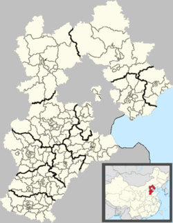 Anci Location in Hebei | |
| Coordinates: 39°31′14″N 116°42′11″E / 39.52056°N 116.70306°E | |
| Country | People's Republic of China |
| Province | Hebei |
| Prefecture-level city | Langfang |
| Area | |
| • Total | 595 km2 (230 sq mi) |
| Elevation | 17 m (57 ft) |
| Population | |
| • Total | 350,000 |
| • Density | 590/km2 (1,500/sq mi) |
| Time zone | UTC+8 (China Standard) |
| Postal code | 065000 |
| Area code(s) | 0316 |
| Website |
anci |
Anci (Chinese: 安次; pinyin: Āncì) is a district of Langfang, Hebei, People's Republic of China.
Administrative divisions
Subdistricts:[1]
- South Yinhe Road Subdistrict (银河南路街道), West Guangming Street Subdistrict (光明西道街道), Yonghua Street Subdistrict (永华道街道)
Towns:
- Luodai (落垡镇), Matou (码头镇), Geyucheng (葛渔城镇), Donggugang (东沽港镇)
Townships:
- Yangshuiwu Township (杨税务乡), Qiuzhuang Township (仇庄乡), Diaohetou Township (调河头乡), Beishijiawu Township (北史家务乡)
Culture
Ge Yucheng Zhong Ge Hui(葛渔城重阁会) Folk dance. Usually there are two layers of actors. The lower level is composed of strong men who are good at dancing. The higher level is composed of children, acting as 'female horn'.
Others like, Folk Music, Di Shili Kite(第什里风筝), Zhong Fan(中幡)
References
External links
This article is issued from
Wikipedia.
The text is licensed under Creative Commons - Attribution - Sharealike.
Additional terms may apply for the media files.