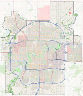
Saskatchewan Drive
 Start/End points of Saskatchewan Drive | |
| Maintained by | City of Edmonton |
|---|---|
| Length | 7.2 km[1] (4.5 mi) |
| Location | Edmonton |
| South end | 71 Avenue |
| Major junctions | University Avenue, Groat Road, 109 Street, Walterdale Hill, 104 Street, Gateway Boulevard, Queen Elizabeth Park Road |
| North end | Scona Road / 99 Street |
Saskatchewan Drive is a river valley road on the south side of the North Saskatchewan River in Edmonton, Alberta, Canada. It was formed on the banks of the river when the area was known as the City of Strathcona. After the amalgamation with Edmonton, and as the grid streets expanded, Saskatchewan Drive was broken up, however most of it still remains, with portions being one-way streets.
Neighbourhoods
List of neighbourhoods Saskatchewan Drive and Scona Road runs through, in order from south to north:[2]
Major intersections
This is a list of major intersections, starting at the south end of Saskatchewan Drive.[2] The entire route is in Edmonton.
| km[1] | mi | Destinations | Notes | ||||
|---|---|---|---|---|---|---|---|
| 0.0 | 0.0 | 71 Avenue / 71A Avenue | At-grade; continues as 71 Avenue | ||||
| 1.2 | 0.75 | 76 Avenue | At-grade | ||||
| 1.8 | 1.1 | University Avenue (to Whyte Avenue) | At-grade; main roadway turns east and follows University Avenue | ||||
| 2.4 | 1.5 | 87 Avenue / Groat Road | Roundabout; main roadway follows Groat Road | ||||
| 3.8 | 2.4 | Emily Murphy Park Road / 116 Street – University of Alberta | At-grade; main roadway follows Emily Murphy Park Road | ||||
| 4.8 | 3.0 | 111 Street | At-grade; one-way, southbound | ||||
| One-way traffic begins (westbound) | |||||||
| 5.0 | 3.1 | 90 Avenue / 110 Street | At-grade; 110 Street is one-way, northbound | ||||
| 300 m (980 ft) gap in Saskatchewan Drive | |||||||
| 5.3 | 3.3 | 109 Street / Walterdale Hill – City Centre | At-grade (traffic lights) | ||||
| One-way traffic begins (eastbound) | |||||||
| 6.3 | 3.9 | At-grade | |||||
| Two-way traffic resumes | |||||||
| 6.4 | 4.0 | Gateway Boulevard (103 Street) | At-grade (traffic lights); one-way, northbound (no access) | ||||
| 6.5 | 4.0 | Queen Elizabeth Park Road – City Centre | At-grade (traffic lights); one-way, northbound | ||||
| 7.2 | 4.5 | Scona Road / 99 Street – City Centre | At-grade (traffic lights) | ||||
| Continues east as 92 Avenue (no westbound cross traffic) | |||||||
1.000 mi = 1.609 km; 1.000 km = 0.621 mi
| |||||||
See also
Route map:
References
- 1 2 Google (December 1, 2017). "Saskatchewan Drive in Edmonton, AB" (Map). Google Maps. Google. Retrieved December 1, 2017.
- 1 2 City of Edmonton map utility
This article is issued from
Wikipedia.
The text is licensed under Creative Commons - Attribution - Sharealike.
Additional terms may apply for the media files.