Abriaquí Fault
| Abriaquí Fault | |
|---|---|
| Falla de Abriaquí | |
 | |
| Etymology | Abriaquí |
| Country |
|
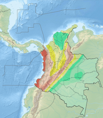
| Region | Andean |
| State | Antioquia |
| Characteristics | |
| Range | Western Ranges, Andes |
| Part of | Andean oblique faults |
| Length | 33.8 km (21.0 mi) |
| Strike | 311 ± 2 |
| Dip | Northeast |
| Dip angle | High |
| Displacement | 0.2–1 mm (0.0079–0.0394 in)/yr |
| Tectonics | |
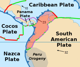
| Plate | North Andean |
| Status | Inactive |
| Type | Oblique thrust fault |
| Movement | Reverse sinistral |
| Age | Quaternary |
| Orogeny | Andean |
The Abriaquí Fault (Spanish: Falla de Abriaquí) is an oblique thrust fault in the department of Antioquia in northwestern Colombia. The fault has a total length of 33.8 kilometres (21.0 mi) and runs along an average northwest to southeast strike of 311 ± 2 in the Western Ranges of the Colombian Andes.
Etymology
Description
The Abriaquí Fault parallels the Cañasgordas Fault to the south, cutting Cretaceous oceanic volcanic rocks as well as Tertiary and Cretaceous sedimentary rocks. The fault has a well defined fault trace with scarps, saddles, and deflected streams. The slip rate is estimated at 0.2 to 1 millimetre (0.0079 to 0.0394 in) per year deduced from displaced geomorphologic features.[1]
See also
References
Bibliography
- Paris, Gabriel; Michael N. Machette; Richard L. Dart, and Kathleen M. Haller. 2000a. Map and Database of Quaternary Faults and Folds in Colombia and its Offshore Regions, 1–66. USGS. Accessed 2017-09-18.
Maps
- Paris, Gabriel; Michael N. Machette; Richard L. Dart, and Kathleen M. Haller. 2000b. Map of Quaternary Faults and Folds of Colombia and Its Offshore Regions, 1. USGS. Accessed 2017-09-18.
Further reading
- Page, W.D. 1986. Seismic geology and seismicity of Northwestern Colombia, 1–200. San Francisco, California, Woodward-Clyde Consultants Report for ISA and Integral Ltda., Medellín.
This article is issued from
Wikipedia.
The text is licensed under Creative Commons - Attribution - Sharealike.
Additional terms may apply for the media files.