Zana Khan District
Zana Khan district is a mountainous district in Ghazni Province, Afghanistan with more than 12,000 people living there (100% Pashtun).[2] The district center is Dado.
Zana Khan زنهخان | |
|---|---|
District | |
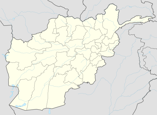 Zana Khan Location within Afghanistan[1] | |
| Coordinates: 33°41′N 68°40′E | |
| Country | |
| Province | Ghazni Province |
| Population (2002)[2] | |
| • Total | 12,230 |
The district is within the heartland of the Andar tribe of Ghilji Pashtuns.[3] Continuing drought is the main problem as in the whole province. It seriously affects agriculture, the main source of income. Health and education services need serious improvement.
Healthcare
Politics & Governance
Agriculture
Land condition in 2002 found 20% of arable land in use.[2]
- Main crops: wheat, alfalfa, maize and barley.
- Animal husbandry: sheep, goats and cows.
Education
Infrastructure
See also
External links
- Map of Settlements AIMS, May 2002
References
- "District Names". National Democratic Institute. Retrieved 12 November 2015.
- "District Profile" (PDF). UNHCR. Retrieved 12 November 2015.
- Ghazni Province Tribal Map (Page 4). Naval Postgraduate School.
This article is issued from Wikipedia. The text is licensed under Creative Commons - Attribution - Sharealike. Additional terms may apply for the media files.