Almar District
Almar[2] is a district in the southwestern part of Faryab Province, Afghanistan. Its northern border is the national border with Turkmenistan. The population was estimated at 150,000 in 2013. Ethnic diversity includes 35% Turkmen and 65% Uzbek.[2]
Almar المار | |
|---|---|
District | |
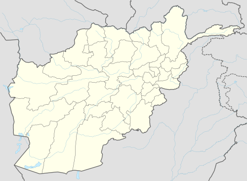
 Almar Location within Afghanistan[1] | |
| Coordinates: 35°58′N 64°17′E | |
| Country | |
| Province | Faryab Province |
| Area | |
| • Total | 1,525 km2 (589 sq mi) |
The district centre is the ancient bazaar town of Almar, 35.8464°N 64.5333°E (also known as Alaqadari-i-Almar or Almar Bazar). Located in a dry desert at an altitude of 847m, 35 km from Maimana, this town is a major supply centre for all the villages on the banks of the Band-i-Turkestan river.
From 24 April and 7 May 2014, flash flooding from heavy rainfall resulted in the destruction of public facilities, roads, and agricultural land. Assessment findings reported 84 families were affected, 700 livestock were killed, 45 gardens were damaged, and 37 Jeribs of agricultural land were damaged/destroyed.[3]
References
- "District Names". National Democratic Institute. Archived from the original on 29 January 2016. Retrieved 22 September 2015.
- "Summary of District Development Plan" (PDF). Almar District Development Assembly. Archived from the original (PDF) on 3 March 2016. Retrieved 22 September 2015.
- "Afghanistan Flash Flood Situation Report" (PDF). International Organization for Migration. Retrieved 6 October 2015.