Nawur District
Nawur is the largest district in Afghanistan's Ghazni Province by area.[2] Its population, which is entirely Hazara, was estimated at 91,778 (more than half of whom were children under 12) in 2002.[1] The Jikhai River originates here.
Nawur ناور | |
|---|---|
District | |
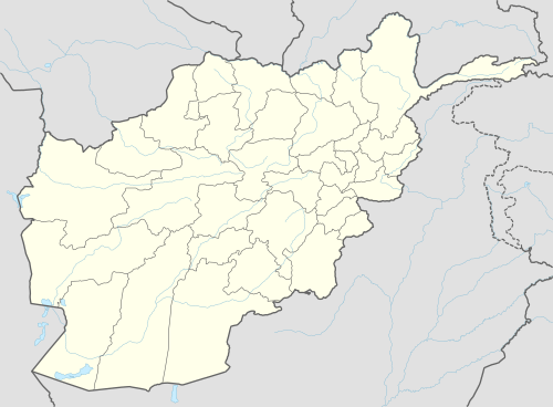 Nawur Location within Afghanistan | |
| Coordinates: 33°47′30″N 67°51′30″E | |
| Country | |
| Province | Ghazni Province |
| Population (2002)[1] | |
| • Total | 91,778 |
Agriculture
Main crops include wheat and barley. Animal husbandry includes sheep, goats, cows, poultry and horses.[1]
In 2011, Polish members of the Provincial Reconstruction Team (PRT) along with local residents constructed a dam and new passage in Tal Bulagh valley. Supplies of water gathered will allow to irrigate crop fields.[3]
External links
- Map of Settlements AIMS, May 2002
See also
References
- "District Profile" (PDF). UNHCR. Archived from the original (PDF) on 27 October 2005. Retrieved 21 April 2006.
- "GeoHack - Nawur District". tools.wmflabs.org. Retrieved 2 September 2017.
- "Drought no longer dreadful for residents of Nawur District". Polish Aid. Retrieved 4 November 2015.
This article is issued from Wikipedia. The text is licensed under Creative Commons - Attribution - Sharealike. Additional terms may apply for the media files.