Dawlat Abad District
Dawlat Abad is a district[1] in Faryab Province, Afghanistan. The population of the district was estimated 95,800 in 2009.
Dawlat Abad دولت آباد | |
|---|---|
District | |
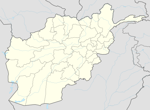 Dawlat Abad Location within Afghanistan[1] | |
| Coordinates: 36°32′N 65°04′E | |
| Country | |
| Province | Faryab Province |
| Area | |
| • Total | 2,598 km2 (1,003 sq mi) |
| Population (2009)[2] | |
| • Total | 95,800 |
The centre of the district is the town of Dawlat Abad (population 5000), located at 36.4372°N 64.9228°E, 447 m altitude, on the route from Sheberghan to Maimana. At one time it had a bazaar with 180 shops and caravanserais. Dawlat Abad is a centre for carpet-weaving in northern Afghanistan.
From 24 April and 7 May 2014, flash flooding from heavy rainfall resulted in the destruction of public facilities, roads, and agricultural land. Within the villages of Khair Abad, Qoraish, Sheikh ha, Popalzayi, Qozibay Qala, Jare Bagh, and Takht Eshan, 486 families were affected, 5 people killed, 250 livestock killed and 5,000 Jeribs of agricultural land damaged.[3]
References
- "District Names". National Democratic Institute. Archived from the original on 29 January 2016. Retrieved 28 September 2015.
- "Afghanistan Election Data". National Democratic Institute. Archived from the original on 28 September 2015. Retrieved 28 September 2015.
- "Afghanistan Flash Flood Situation Report" (PDF). International Organization for Migration. Retrieved 1 October 2015.