Marghab District
Marghab District (Persian, مرغاب) The Parliament of Afghanistan on Nov 26,2019 approved a decree on creation of Marghab district in Northern Ghor province. Marghab is bordered by Kohistanat District to the north , Dawlat Yar District and Firozkooh to the south, Lal wa Sarjangal to the east and Charsada to the west.
Marghab District مرغاب | |
|---|---|
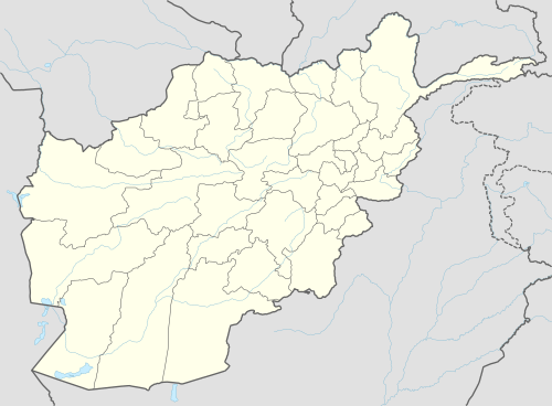 Marghab District Location within Afghanistan[1] | |
| Coordinates: 34°58′31″N 65°36′39″E | |
| Country | |
| Province | Ghor Province |
| Population (2019)[2] | |
| • Total | 40,000 |
president Ghani decreed creation of Marghab district in Ghor through decree No. 632 from the Presidential Palace as it was people’s demand.
The district encompassed 32 villages and around 40,000 populations. Shoraba area would serve the district center.
Political party
Jamiat-e Islami is the most powerful Party in The Marghab District.
language
Marghab has a population of about 40,000 who are Totally Farsi speakers.
Demographics
The estimated population of Marghab District in 2019 was roughly 40,000. Tajiks make up 100%. No Pashtuns and No Hazara.
economy
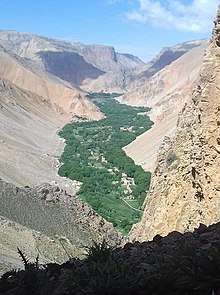
The district suffers from poverty and weak economy. Marghab is a hilly district located in the northeast of Ghor Province. Most of the population live in the valley of the Marghab River
References
- "District Names". National Democratic Institute. Archived from the original on 29 January 2016. Retrieved 17 November 2015.
- "Settled Population of Ghor Province" (PDF). Central Statistics Organization. Retrieved 17 November 2015.