Makassar Strait
Makassar Strait is a strait between the islands of Borneo and Sulawesi in Indonesia. To the north it joins the Celebes Sea, while to the south it meets the Java Sea. To the northeast, it forms the Sangkulirang Bay south of the Mangkalihat Peninsula.
| Makassar Strait | |
|---|---|
 Makassar Strait Map | |
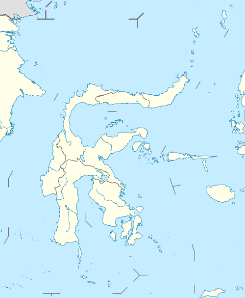 Makassar Strait Location of Makassar Strait | |
| Location | Indonesia |
| Coordinates | 0°0′0″N 118°30′00″E |
| Type | strait |
| Native name | Indonesian: Selat Makassar |
| Basin countries | Indonesia |
| Islands | +100 |
| Settlements | Balikpapan, Bontang (Kalimantan) Makassar, Palu, Parepare (Sulawesi) |
| References | Macassar Strait: OS (Oceans) National Geospatial-Intelligence Agency, Bethesda, MD, USA |
The Mahakam River and Karangan River of Borneo empty into the strait.
Ports along the strait include Balikpapan and Bontang in Borneo, and Makassar, Palu, and Parepare in Sulawesi. The city of Samarinda is 48 km (30 mi) from the strait, along the Mahakam.
Extent
The International Hydrographic Organization (IHO) defines the Makassar Strait as being one of the waters of the East Indian Archipelago. The IHO defines its limits as follows:[1]
The channel between the East coast of Borneo and the West coast of Celebes [Sulawesi], is bounded:
On the North. By a line joining Tanjong Mangkalihat, Borneo (1°02′N 118°57′E) and Stroomen Kaap (Cape Rivers), Celebes (1°20′N 120°52′E).
On the South. By a line from the Southwestern extreme of Celebes (5°37′S 119°27′E), through the Southern point of Tana Keke, to the Southern extreme of Laoet (4°06′S 116°06′E) thence up the West coast of that island to Tanjong Kiwi and thence across to Tanjong Petang, Borneo (3°37′S 115°57′E) at the Southern end of Laoet Strait.
Gallery
 Beras Basah Island in Makassar Strait, administrative part of Bontang.
_carrier_battle_group_underway_in_Makassar_Strait_on_28_September_1985_(6408112).jpeg) USS Midway (CV-41) and other warships in Makassar Strait, 28 September 1985.
USS Midway (CV-41) and other warships in Makassar Strait, 28 September 1985..jpg) Offshore oil rig in Makassar Strait, 2005.
Offshore oil rig in Makassar Strait, 2005..jpg) Aur island, administrative part of South Kalimantan.
Aur island, administrative part of South Kalimantan. KM Arista ship sunk in Makassar Strait, 10 June 2015.[2]
See also
References
- "Limits of Oceans and Seas, 3rd edition" (PDF). International Hydrographic Organization. 1953. Archived from the original (PDF) on 8 October 2011. Retrieved 7 February 2010.
- "Navy vessel rescues 65 people in Makassar Strait | IHS Fairplay". fairplay.ihs.com. Retrieved 2018-11-30.