Alor Strait
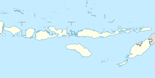
Alor Strait (also Alloo Strait[1]) divides the Solor Archipelago from the Alor Archipelago, in the Lesser Sunda Islands of Indonesia. It lies mainly between the larger islands of Pantar and Lembata. The strait connects the western part of the Banda Sea in the north to the Savu Sea in the south.
| Alor Strait | |
|---|---|
 Alor Strait | |
| Coordinates | 8°20′00″S 123°48′00″E |
| Type | strait |
| Native name | Indonesian: Selat Alor |
| Basin countries | Indonesia |
| References | Selat Alor: Indonesia National Geospatial-Intelligence Agency, Bethesda, MD, USA |
Notes
- Goodall, George (Editor)(1943) Philips' International Atlas London, George Philip and Son map 'East Indies' pp.91-92 for pre Independence spelling
This article is issued from Wikipedia. The text is licensed under Creative Commons - Attribution - Sharealike. Additional terms may apply for the media files.