Abu El Matamir
Abu El Matamir (Arabic: ابو المطامير pronounced [abol.mɑtˤɑˈmiːɾ]) is a city in Egypt. As of 2006 it had a population of 44,415.[1]
Abu El Matamir | |
|---|---|
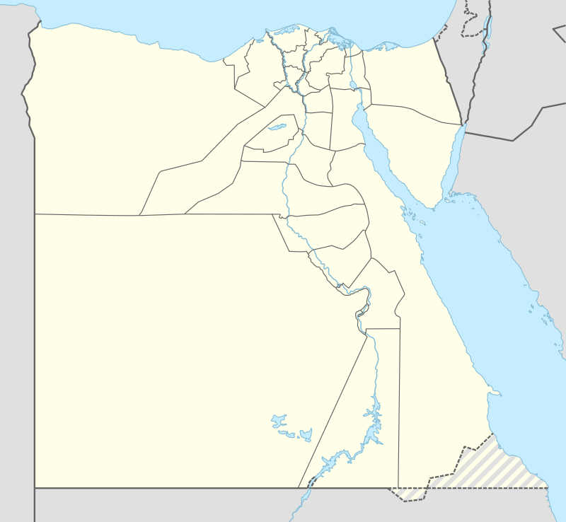 Abu El Matamir Location in Egypt | |
| Coordinates: 30.908411°N 30.148487°E | |
| Country | |
| Governorate | Beheira Governorate |
| Population (2006) | |
| • Total | 44,415 |
| Time zone | UTC+2 (EET) |
| • Summer (DST) | UTC+3 (EEST) |
The city existed before the Islamic conquest of Egypt, and the Romans used it as a grian storage. The city was named by this name because wheat is stored in the past in what is called Matmur and its plural Matamir.
Climate
Köppen-Geiger climate classification system classifies its climate as hot desert (BWh).
| Climate data for Abu El Matamir | |||||||||||||
|---|---|---|---|---|---|---|---|---|---|---|---|---|---|
| Month | Jan | Feb | Mar | Apr | May | Jun | Jul | Aug | Sep | Oct | Nov | Dec | Year |
| Average high °C (°F) | 18.2 (64.8) |
18.9 (66.0) |
21.5 (70.7) |
25.4 (77.7) |
28.8 (83.8) |
31.2 (88.2) |
31.6 (88.9) |
32.1 (89.8) |
30.4 (86.7) |
28.8 (83.8) |
24.6 (76.3) |
20.2 (68.4) |
26.0 (78.8) |
| Daily mean °C (°F) | 13.1 (55.6) |
13.7 (56.7) |
15.8 (60.4) |
19 (66) |
22.6 (72.7) |
25.4 (77.7) |
26.3 (79.3) |
26.6 (79.9) |
25.2 (77.4) |
23 (73) |
19.2 (66.6) |
15 (59) |
20.4 (68.7) |
| Average low °C (°F) | 8.1 (46.6) |
8.6 (47.5) |
10.2 (50.4) |
12.6 (54.7) |
16.4 (61.5) |
19.6 (67.3) |
21 (70) |
21.1 (70.0) |
20 (68) |
17.3 (63.1) |
13.9 (57.0) |
9.8 (49.6) |
14.9 (58.8) |
| Average precipitation mm (inches) | 25 (1.0) |
20 (0.8) |
6 (0.2) |
5 (0.2) |
2 (0.1) |
0 (0) |
0 (0) |
0 (0) |
0 (0) |
5 (0.2) |
16 (0.6) |
26 (1.0) |
105 (4.1) |
| Source: Climate-Data.org[2] | |||||||||||||
Notable people
References
- "Egypt:Governorates and Major Cities". City Population.de. Retrieved 19 July 2012.
- "Climate: Abu al Matamir - Climate graph, Temperature graph, Climate table". Climate-Data.org. Retrieved 15 August 2013.
This article is issued from Wikipedia. The text is licensed under Creative Commons - Attribution - Sharealike. Additional terms may apply for the media files.