Tahta
Tahta (Egyptian Arabic: طهطا / IPA: [ˈtˤɑhtˤɑ], ALA-LC: Ṭahṭā; Greek: Τοετω[3]; Coptic: ⲧϩⲟⲧⲏ) is a city in the Sohag Governorate of Upper Egypt. It is located on the west bank of the Nile. Tahta had a population of 85,528 in the 2017 census.[4] Modern name is believed by Egyptologists to have derived from the word Ta-ho-ty (Ancient Egyptian: Tȝ-ḥw.t-Ty).[1][2] Two famous monasteries are located near Tahta, the White Monastery and the Red Monastery.
| ḥt tj(t)[1] in hieroglyphs |
|---|
| ḥt tj(t)[2] in hieroglyphs |
|---|
Tahta ⲧϩⲟⲧⲏ طهطا | |
|---|---|
City | |
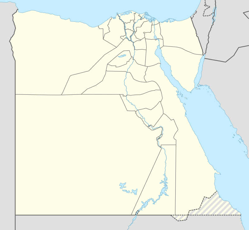 Tahta Location in Egypt | |
| Coordinates: 26°56′N 31°30′E | |
| Country | |
| Governorate | Sohag |
| Population (2017) | |
| • Total | 85,528 |
| Time zone | UTC+2 (EST) |
Villages
Villages within the jurisdiction of Tahta include:
- Bani Harb (Egyptian Arabic: بني حرب)
- Nazlit El Qady (Arabic: نزلة القاضي)
- Banga (Egyptian Arabic: بنجا)
- El Sawalim (Egyptian Arabic: السوالم)
- Shattoura (Egyptian Arabic: شطورة)
- El Kom El Asfar (Egyptian Arabic: الكوم الأصفر)
- Zein Eld Din (Egyptian Arabic: زين الدين)
- Nazlit Ali (Egyptian Arabic: نزلة علي)
- Elsawamaa Gharb (Egyptian Arabic: الصوامعة غرب)
- Banhao (Egyptian Arabic: بنهو)
- Bani-Ammar (Egyptian Arabic: بني عمار)
- Eneebis (Egyptian Arabic: عنيبس)
Notable residents
- Rifa'a el-Tahtawi
- Naguib Sawiris
- Ahmed Eltahlawy
See also
References
- Wallis Budge, E. A. (1920). An Egyptian hieroglyphic dictionary: with an index of English words, king list and geological list with indexes, list of hieroglyphic characters, coptic and semitic alphabets, etc. Vol II. John Murray. p. 1019.
- Gauthier, Henri (1927). Dictionnaire des Noms Géographiques Contenus dans les Textes Hiéroglyphiques Vol .4. p. 141. Gauthier refers to Daressy's identification.
- Paprocki, Maciej (2019). Roads in the Deserts of Roman Egypt: Analysis, Atlas, Commentary. Oxbow Books. p. 22. ISBN 9781789251593. Retrieved 14 March 2020.
- "The population of the governorates of Egypt according to census results". City Population.
| Regions | ||
|---|---|---|
| Important sites | ||
| ||
This article is issued from Wikipedia. The text is licensed under Creative Commons - Attribution - Sharealike. Additional terms may apply for the media files.