El Bagour
El Bagour (Arabic: الباجور pronounced [elbɑˈɡuːɾ]) is a small city in northern Egypt. It is located in the Nile Delta in the Monufia Governorate. El Bagour has 48 surrounding villages.
El Bagour الباجور | |
|---|---|
city | |
 | |
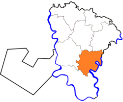 Location in Monufia Governorate | |
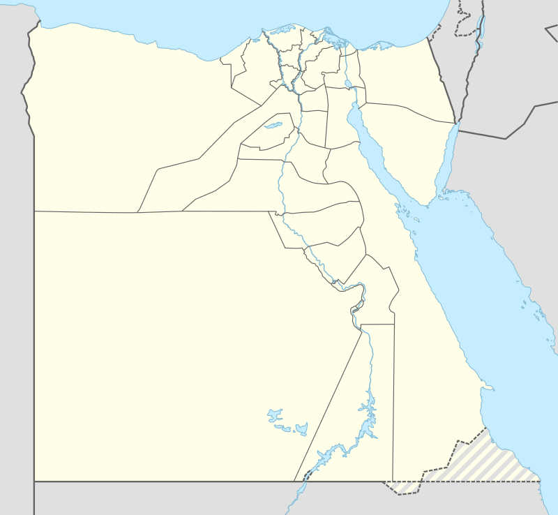 El Bagour Location in Egypt | |
| Coordinates: 30.433282°N 31.056862°E | |
| Country | |
| Governorate | Monufia |
| Time zone | UTC+2 (EST) |
Location
El Bagour is located in the eastern part of Monufia Governorate, has borders with Benha to the east - 13 km, Menouf to the west - 15 km, Shibin El Kom to the north - 12 km and Ashmoun to the south - 20 km
Climate
Köppen-Geiger climate classification system classifies its climate as hot desert (BWh).[1]
| Climate data for El Bagour | |||||||||||||
|---|---|---|---|---|---|---|---|---|---|---|---|---|---|
| Month | Jan | Feb | Mar | Apr | May | Jun | Jul | Aug | Sep | Oct | Nov | Dec | Year |
| Average high °C (°F) | 19.2 (66.6) |
21 (70) |
23.7 (74.7) |
27.7 (81.9) |
32 (90) |
34.4 (93.9) |
34.6 (94.3) |
34.5 (94.1) |
32.4 (90.3) |
30.1 (86.2) |
25.3 (77.5) |
20.9 (69.6) |
28.0 (82.4) |
| Daily mean °C (°F) | 12.6 (54.7) |
14 (57) |
16.3 (61.3) |
19.5 (67.1) |
23.7 (74.7) |
26.4 (79.5) |
27.3 (81.1) |
27.2 (81.0) |
25.2 (77.4) |
22.9 (73.2) |
19 (66) |
14.5 (58.1) |
20.7 (69.3) |
| Average low °C (°F) | 6.1 (43.0) |
7 (45) |
9 (48) |
11.4 (52.5) |
15.4 (59.7) |
18.4 (65.1) |
20.1 (68.2) |
19.9 (67.8) |
18 (64) |
15.7 (60.3) |
12.8 (55.0) |
8.2 (46.8) |
13.5 (56.3) |
| Average precipitation mm (inches) | 6 (0.2) |
5 (0.2) |
3 (0.1) |
2 (0.1) |
2 (0.1) |
0 (0) |
0 (0) |
0 (0) |
0 (0) |
2 (0.1) |
3 (0.1) |
6 (0.2) |
29 (1.1) |
| Source: Climate-Data.org (altitude: 16m)[1] | |||||||||||||
Population
According to 2006 census, Population reached 304,420 citizens ( Main city and surrounding villages ). Main city's population is about 50,000 citizens.
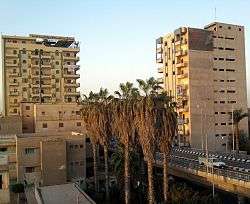
Gallery
 El Bagour Stadium
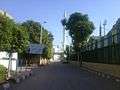 El Bagour Stadium St.
See also
References
- "El Bagur - Climate graph, Temperature graph, Climate table". Climate-Data.org. Retrieved 2014-07-30.
This article is issued from Wikipedia. The text is licensed under Creative Commons - Attribution - Sharealike. Additional terms may apply for the media files.