Uracane
Coordinates: 11°19′13″N 16°05′36″W / 11.32038°N 16.09341°W
 | |
| Geography | |
|---|---|
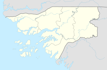
| Archipelago | Bissagos Islands |
| Area | 1 km2 (0.39 sq mi) |
| Administration | |
|
Guinea-Bissau | |
| Region | Bolama |
Uracane (Bidyogo: probably Urakane or Urakani) is an island in the Bissagos Islands of Guinea-Bissau.[1]
Nearby island include Enu, to the north-northwest, further north is Formosa (or Abu), the smaller Edana to the northeast of the easternmost part, Soga to the east, Bubaque to the east-southeast, Orango to the south which includes Canogo and Uno to the southwest.
Along with Edana, the eastern portion sits at the centre of the archipelago.
The geography of the island is flat and consists of nothing but a tropical rainforest which includes mangroves as is to other parts of the archipelago and Guinea-Bissau, parts of the island are swampy as the island is predominantly flat. The only agricultural areas are by its small villages. Also, its unforested portions are its beaches.
The surrounding shores of the island are predominantly shallow and numerous marine fauna including corals are founded. Up to around 6000 to 5000 BC in the Late Ice Age, they were part of the African mainland.
References
- ↑ Guides, R. (2008). The Rough Guide to West Africa. Rough Guides. Rough Guides Limited. p. 847. ISBN 978-1-4053-8068-3. Retrieved 19 August 2018.
Bolama (capital) | ||
| Sectors | ||
| Islands |
| |
| Parks | ||