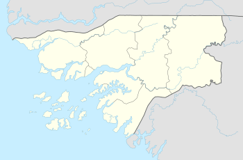
Uno (Guinea-Bissau)
 NASA satellite image of Uno Island | |
 | |
| Geography | |
|---|---|
| Archipelago | Bissagos Islands |
| Area | 104 km2 (40 sq mi) |
| Administration | |
|
Guinea-Bissau | |
| Region | Bolama |
| Additional information | |
| Time zone | |
Uno is an island in the Bissagos Islands, Guinea-Bissau and forms a part of the sector of Uno. Its area is 104 km2 (40 sq mi). Nearby islands and islets include Enu to the northeast, Uracane to the east, Orango to the south, Unhacomo and Unhacomozinho to the west and Porcos and Carache to the northwest. It belongs to a Biosphere Reserve which itself is a World Heritage Site.
The majority of the island consists exclusively of a tropical rainforest, which include mangroves similar to other parts of the archipelago and Guinea-Bissau. Parts of the island are swampy as the island is predominantly flat. The only agricultural areas are alongside its small villages. The island's beaches are unforested.
The surrounding shores of the island are predominantly shallow and numerous marine fauna including corals can be found there. Up until around 6000–5000 BC in the Late Ice Age, they were part of the African mainland.
References
- Biosphere Reserve Information
- Uno in the Catalogue of Islands at UNEP (United Nations Environment Program) - accessed September 21, 2017
Coordinates: 11°06′11″N 16°09′10″W / 11.10295°N 16.15265°W
Bolama (capital) | ||
| Sectors | ||
| Islands |
| |
| Parks | ||