Formosa (Guinea-Bissau)
 | |
| Geography | |
|---|---|
| Archipelago | Bissagos Islands |
| Area | 140 km2 (54 sq mi) |
| Administration | |
|
Guinea-Bissau | |
| Region | Bolama |
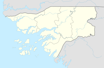
Formosa is an island in the Bissagos Islands, Guinea-Bissau and forms a part of the sector of Caravela. Its area is 140 km², its length is 19.93 km and its width is 10 km. The main city is Abu. It is located just off the West coast of the northern half of Africa.
Nearby islands includes Ponta and Maio to the north and Enu and Edana to the south.
Its geography of the island is flat and consists nothing but a tropical rainforest which include mangroves as is to other parts of the archipelago and Guinea-Bissau, parts of the island are swampy as the island is predominantly flat. The only agricultural areas are by its small villages. Also its unforested portions are its beaches.
References
Bolama (capital) | ||
| Sectors | ||
| Islands |
| |
| Parks | ||
This article is issued from
Wikipedia.
The text is licensed under Creative Commons - Attribution - Sharealike.
Additional terms may apply for the media files.