Poilão
| Poilão | |
|---|---|
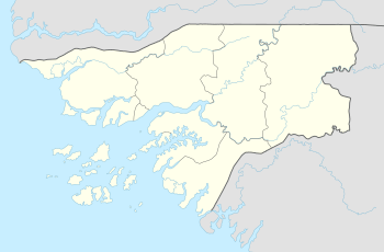 Poilão Location in Guinea-Bissau | |
| Coordinates: 10°51′53″N 15°43′36″W / 10.86472°N 15.72667°W | |
| Country |
|
| Region | Bolama Region |
| District | Bubaque District |
| Area | |
| • Land | 0.43 km2 (0.17 sq mi) |
Poilão is one of the Bijagós Islands in Guinea-Bissau and is the smallest of the archipelago and is unhabted . It contains the country's southernmost point, at 10°51'53"N,15°43'36"W. The island is heavily forested. Nearby islands and islets includes Orangozinho to the northwest and Cavalos and Meio or Maio to the north. To the east is the African mainland with Guinea-Bissau to the northeast and Guinea to the southeast. The area is 43 ha and 1,000 meters long. Its sandy beaches domninate 2.3 km of the 4 km long coast. The islet interior are covered with a tropical dense forest. Its climate is tropical and humid and heavy rainfall occurs between May and November.
The island is known for its wildlife especially green turtles and is partly forested including leafy trees and fig trees, types includes Ceiba pentandra, Adansonia digitata, Ficus exasperata (Po-di-lixa in Creole), Allophylus africanus and Ipomoea pes-caprae.[1]
Also the islet features a lighthouse, its class of light is Fl (3) W 15s., its focal height is 25 metres (82 ft) and its range is 9 nautical miles (16 km).[2]
References
- ↑ Catry, P.; Barbosa, C.; Paris, B.; Indjai, B.; Almeida, A.; Limoges, B.; Silva, C.; Pereira, H (2009). "Status, ecology, and conservation of sea turtles in Guinea-Bissau". Chelonian Conservation and Biology. pp. 150–160.
- ↑ Guinea-Bissau The Lighthouse Directory. University of North Carolina at Chapel Hill. Retrieved 17 September 2016
External links
Bolama (capital) | ||
| Sectors | ||
| Islands |
| |
| Parks | ||