Tutye, Victoria
| Tutye Victoria | |||||||||||||||
|---|---|---|---|---|---|---|---|---|---|---|---|---|---|---|---|
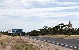 Entering Tutye | |||||||||||||||
 Tutye | |||||||||||||||
| Coordinates | 35°12′53″S 141°29′54″E / 35.21472°S 141.49833°ECoordinates: 35°12′53″S 141°29′54″E / 35.21472°S 141.49833°E | ||||||||||||||
| Postcode(s) | 3490 | ||||||||||||||
| Elevation | 96 m (315 ft) | ||||||||||||||
| Location | |||||||||||||||
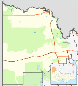
| LGA(s) | Rural City of Mildura | ||||||||||||||
| State electorate(s) | Mildura | ||||||||||||||
| Federal Division(s) | Mallee | ||||||||||||||
| |||||||||||||||
Tutye is a locality situated on the section of the Mallee Highway between Ouyen and the South Australian border in the Sunraysia region of Victoria, Australia. The place by road, is situated about 9 kilometres southeast from Boinka and 12 kilometres northwest from Cowangie.
A Post Office opened on 15 July 1912 when a regular mail service was provided by the opening of the railway line from Ouyen to Murrayville a month earlier. The office closed in 1980.[2]
The area of the locality contains the smaller area of Tyalla.
References
- ↑ Travelmate
- ↑ Premier Postal History, Post Office List, archived from the original on 10 May 2008, retrieved 11 April 2008
This article is issued from
Wikipedia.
The text is licensed under Creative Commons - Attribution - Sharealike.
Additional terms may apply for the media files.