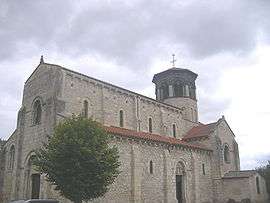
Thuret, Puy-de-Dôme
| Thuret | |
|---|---|
| Commune | |
 | |
 Thuret Location within Auvergne-Rhône-Alpes region  Thuret | |
| Coordinates: 45°58′08″N 3°15′32″E / 45.969°N 3.259°ECoordinates: 45°58′08″N 3°15′32″E / 45.969°N 3.259°E | |
| Country | France |
| Region | Auvergne-Rhône-Alpes |
| Department | Puy-de-Dôme |
| Arrondissement | Riom |
| Canton | Aigueperse |
| Government | |
| • Mayor | Pouzat |
| Area1 | 16.66 km2 (6.43 sq mi) |
| Population (1999)2 | 770 |
| • Density | 46/km2 (120/sq mi) |
| Time zone | UTC+1 (CET) |
| • Summer (DST) | UTC+2 (CEST) |
| INSEE/Postal code | 63432 /63260 |
| Elevation |
304–356 m (997–1,168 ft) (avg. 320 m or 1,050 ft) |
|
1 French Land Register data, which excludes lakes, ponds, glaciers > 1 km2 (0.386 sq mi or 247 acres) and river estuaries. 2 Population without double counting: residents of multiple communes (e.g., students and military personnel) only counted once. | |
Thuret is a commune in the Puy-de-Dôme department in Auvergne in central France.
See also
References
| Wikimedia Commons has media related to Thuret, Puy-de-Dôme. |
This article is issued from
Wikipedia.
The text is licensed under Creative Commons - Attribution - Sharealike.
Additional terms may apply for the media files.