Tadmore, Saskatchewan
| Tadmore | |
|---|---|
| Organized hamlet | |
| Hamlet of Tadmore | |
 Tadmore | |
| Coordinates: 51°50′03″N 102°28′48″W / 51.8341672°N 102.4798722°WCoordinates: 51°50′03″N 102°28′48″W / 51.8341672°N 102.4798722°W | |
| Country |
|
| Province |
|
| Region | East-central |
| Census division | 9 |
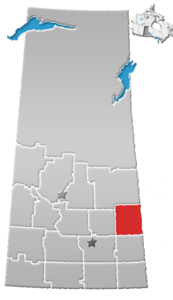
| Rural Municipality | Buchanan No. 304 |
| Government | |
| • Type | Municipal |
| • Governing body | Rural Municipality of Buchanan |
| • Reeve | Don Skoretz |
| • Administrator | Twila Hadubiak |
| Area | |
| • Total | 0.30 km2 (0.12 sq mi) |
| Population (2016) | |
| • Total | 25 |
| • Density | 67.5/km2 (175/sq mi) |
| Time zone | UTC-6 (CST) |
| Area code(s) | 306 |
| Highways |
|
| Railways | Canadian National Railway |
| [1][2][3][4] | |
Tadmore is a hamlet within the Rural Municipality of Buchanan No. 304, Saskatchewan, Canada. Listed as a designated place by Statistics Canada, the hamlet had a population of 20 in the Canada 2016 Census.[5]
The community is likely named for ancient Palmyra in Syria, whose local name is Tadmur.[6]
See also
References
- ↑ National Archives, Archivia Net, Post Offices and Postmasters, archived from the original on 2006-10-06
- ↑ Government of Saskatchewan, MRD Home, Municipal Directory System, archived from the original (– Scholar search) on 2008-11-21
- ↑ Canadian Textiles Institute. (2005), CTI Determine your provincial constituency, archived from the original on 2007-09-11
- ↑ Commissioner of Canada Elections, Chief Electoral Officer of Canada (2005), Elections Canada On-line, archived from the original on 2007-04-21
- ↑ Canada 2016 Census: Designated places in Saskatchewan
- ↑ Barry, Bill (September 2005). Geographic Names of Saskatchewan. Regina, Saskatchewan: People Places Publishing, Ltd. p. 414. ISBN 1-897010-19-2.
External links
| Subdivisions | |
|---|---|
| Communities | |
| Cities | |
| Topics |
|
| |
This article is issued from
Wikipedia.
The text is licensed under Creative Commons - Attribution - Sharealike.
Additional terms may apply for the media files.