Sculthorpe, Norfolk
| Sculthorpe | |
|---|---|
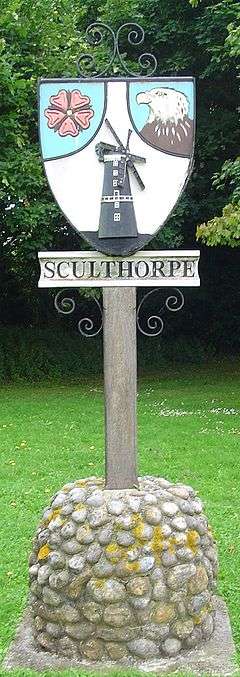 Signpost in Sculthorpe | |
 Sculthorpe Sculthorpe shown within Norfolk | |
| Area | 8.52 km2 (3.29 sq mi) |
| Population | 751 (2011) |
| • Density | 88/km2 (230/sq mi) |
| OS grid reference | TF896308 |
| Civil parish |
|
| District | |
| Shire county | |
| Region | |
| Country | England |
| Sovereign state | United Kingdom |
| Post town | FAKENHAM |
| Postcode district | NR21 |
| Police | Norfolk |
| Fire | Norfolk |
| Ambulance | East of England |
| EU Parliament | East of England |
Sculthorpe is a village and civil parish in the English county of Norfolk. The village is situated some 4 km (2.5 mi) north-west of Fakenham and 5 km (3.1 mi) south-east of South Creake.
The civil parish has an area of 8.52 km2 (3.29 sq mi) and in 2001 had a population of 744 in 312 households, the population increasing to 751 at the 2011 census.[1] For the purposes of local government, the parish falls within the district of North Norfolk.[2]
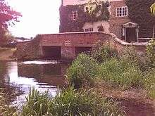
The former water mill, located about a mile south of the parish church, is now a pub and restaurant, but some of the workings remain visible.
The large airfield of RAF Sculthorpe lies immediately to the west of the village.
Sculthorpe Moor Community Nature Reserve lies to the south of the village in Turf Moor Road
Notes
- ↑ "Civil Parish population 2011". Retrieved 3 September 2015.
- ↑ Office for National Statistics & Norfolk County Council, 2001. Census population and household counts for unparished urban areas and all parishes Archived 2017-02-11 at the Wayback Machine.. Retrieved December 2, 2005.
External links
![]()