San Andrés y Sauces
| San Andrés y Sauces | |
|---|---|
| Municipality | |
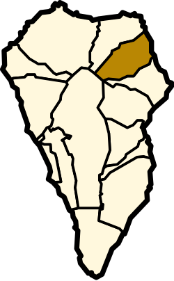 | |
 San Andrés y Sauces Location in Canary Islands | |
| Coordinates: 28°48′20″N 17°46′30″W / 28.80556°N 17.77500°WCoordinates: 28°48′20″N 17°46′30″W / 28.80556°N 17.77500°W | |
| Country | Spain |
| Autonomous community | Canary Islands |
| Province | Santa Cruz de Tenerife |
| Island | La Palma |
| Area[1] | |
| • Total | 42.75 km2 (16.51 sq mi) |
| Population (2013)[2] | |
| • Total | 4,473 |
| • Density | 100/km2 (270/sq mi) |
San Andrés y Sauces is a municipality on the island of La Palma, Province of Santa Cruz de Tenerife, Canary Islands, Spain. It is situated in the northeastern part of the island. The population of the municipality is 4,473 (2013)[2] and the area is 42.75 km².[1] The elevation of the largest village Los Sauces is 250 m. Los Sauces is 14 km north of the island capital Santa Cruz de La Palma. The municipality takes its name from the villages Los Sauces (the seat of the municipality) and San Andrés, 1.5 km southeast of Los Sauces, at the coast.
Economy
The main crops are bananas and the root vegetable taro (Colocasia esculenta), locally called ñame. A minor crop is sugar cane, which serves for the only distillery in the land that manufactures Ron Aldea, a rum.
Points of interest
- the laurel forest of Los Tilos
- traditional architecture, mainly in San Andrés
- Puerto Spíndola, a small fishing port
- Cuevas de los Murciélagos, volcanic caves that are home to several bat species. Interesting fossils were found in the 1980s.
Historical population
| Year | Population |
|---|---|
| 1991 | 5,392 |
| 1996 | 5,438 |
| 2001 | 5,351 |
| 2002 | 5,226 |
| 2003 | 5,102 |
| 2004 | 5,012 |
| 2013 | 4,473 |
Gallery
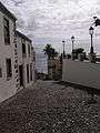 San Andrés
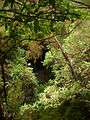 Los Tilos
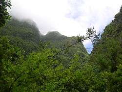 Los Tilos
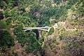 Barranco de la Fuente
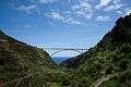
See also
References
- 1 2 Instituto Canario de Estadística, area
- 1 2 Instituto Canario de Estadística Archived 2014-04-19 at the Wayback Machine., population
Places adjacent to San Andrés y Sauces | ||||||||||
|---|---|---|---|---|---|---|---|---|---|---|
| ||||||||||