Pianello del Lario
| Pianello del Lario | |
|---|---|
| Comune | |
| Comune di Pianello del Lario | |
 Pianello del Lario Location of Pianello del Lario in Italy | |
| Coordinates: 46°6′N 9°17′E / 46.100°N 9.283°E | |
| Country | Italy |
| Region | Lombardy |
| Province | Como (CO) |
| Frazioni | Bellera, Belmonte, Calozzo, Camlago, Crotti, Garuso, Maggiana, Mianico, Nasina, Riva, Saliana, Sant'Anna, Tre Terre |
| Government | |
| • Mayor | Bruno Pedrazzani |
| Area | |
| • Total | 9.8 km2 (3.8 sq mi) |
| Elevation | 200 m (700 ft) |
| Population (31 December 2010)[1] | |
| • Total | 1,050 |
| • Density | 110/km2 (280/sq mi) |
| Demonym(s) | Pianellesi |
| Time zone | UTC+1 (CET) |
| • Summer (DST) | UTC+2 (CEST) |
| Postal code | 22010 |
| Dialing code | 0344 |
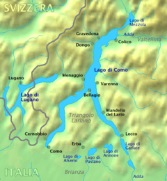
Pianello del Lario (Comasco: Pianell [pjaˈnɛl]) is a comune (municipality) in the Province of Como in the Italian region Lombardy, located about 70 kilometres (43 mi) north of Milan and about 35 kilometres (22 mi) northeast of Como.
Pianello del Lario borders the following municipalities: Colico, Cremia, Dervio, Dongo, Dorio, Garzeno, Musso.
References
| Settlements |
|  |
|---|---|---|
| Islands | ||
| Rivers | ||
| Valleys | ||
| Mountains | ||
| Landmarks | ||
| Films | ||
| People | ||

This article is issued from
Wikipedia.
The text is licensed under Creative Commons - Attribution - Sharealike.
Additional terms may apply for the media files.