National Register of Historic Places listings in Des Moines County, Iowa
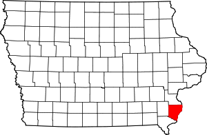
Location of Des Moines County in Iowa
This is a list of the National Register of Historic Places listings in Des Moines County, Iowa.
This is intended to be a complete list of the properties and districts on the National Register of Historic Places in Des Moines County, Iowa, United States. Latitude and longitude coordinates are provided for many National Register properties and districts; these locations may be seen together in a Google map.[1]
There are 32 properties and districts listed on the National Register in the county. Another 4 properties were once listed but have been removed.
- This National Park Service list is complete through NPS recent listings posted October 4, 2018.[2]
Current listings
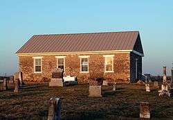
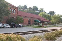
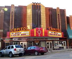
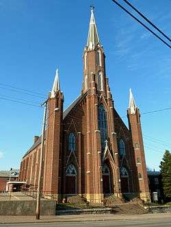
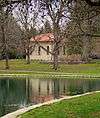
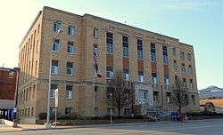
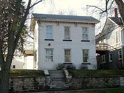
.jpg)


Former listings
| [3] | Name on the Register | Image | Date listed | Date removed | Location | City or town | Summary |
|---|---|---|---|---|---|---|---|
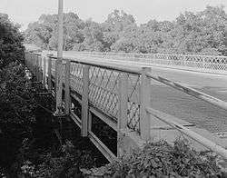
| 1 | Flint River Bridge | June 25, 1998 (#98000792) | October 15, 2014 | 155th St. over the Flint River 40°54′19″N 91°13′22″W / 40.905278°N 91.222778°W |
Burlington | ||
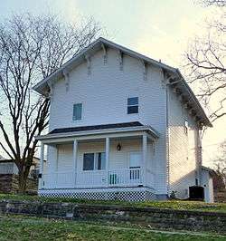
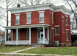
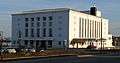
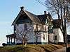
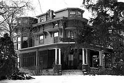
| 2 | Charles Mason House | 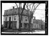 |
January 25, 1980 (#80001447) | September 23, 1987 | 931 N. 6th St. 40°49′03″N 91°06′15″W / 40.817512°N 91.104165°W |
Burlington | |
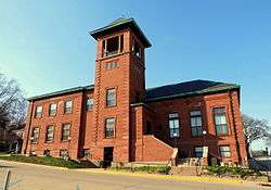
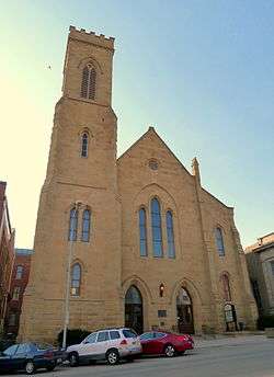
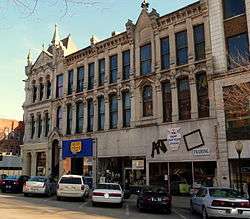
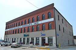
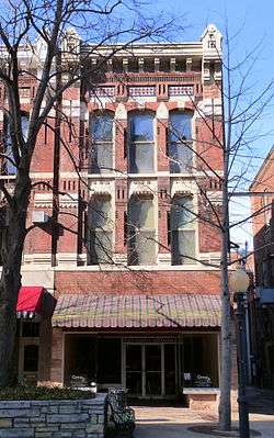
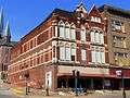
| 3 | Union Hotel | April 4, 1993 (#93000328) | May 12, 2009 | 301-311 S. Main St. 40°48′21″N 91°06′09″W / 40.8058°N 91.1025°W |
Burlington | Hotel is the white and light gray building at the far right, matching a drawing in Commercial and Statistical Review of the City of Burlington, Iowa (1882).[6] | |
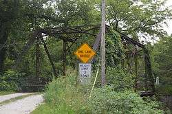
| 4 | Yellow Spring Creek Bridge | June 25, 1998 (#98000791) | December 15, 2003 | Sperry Rd. over Yellow Spring Creek |
Mediapolis |
See also
| Wikimedia Commons has media related to National Register of Historic Places in Des Moines County, Iowa. |
References
- ↑ The latitude and longitude information provided in this table was derived originally from the National Register Information System, which has been found to be fairly accurate for about 99% of listings. For about 1% of NRIS original coordinates, experience has shown that one or both coordinates are typos or otherwise extremely far off; some corrections may have been made. A more subtle problem causes many locations to be off by up to 150 yards, depending on location in the country: most NRIS coordinates were derived from tracing out latitude and longitudes from USGS topographical quadrant maps created under the North American Datum of 1927, which differs from the current, highly accurate WGS84 GPS system used by most on-line maps. Chicago is about right, but NRIS longitudes in Washington are higher by about 4.5 seconds, and are lower by about 2.0 seconds in Maine. Latitudes differ by about 1.0 second in Florida. Some locations in this table may have been corrected to current GPS standards.
- ↑ "National Register of Historic Places: Weekly List Actions". National Park Service, United States Department of the Interior. Retrieved on October 4, 2018.
- 1 2 Numbers represent an ordering by significant words. Various colorings, defined here, differentiate National Historic Landmarks and historic districts from other NRHP buildings, structures, sites or objects.
- ↑ National Park Service (2008-04-24). "National Register Information System". National Register of Historic Places. National Park Service.
- ↑ The eight-digit number below each date is the number assigned to each location in the National Register Information System database, which can be viewed by clicking the number.
- ↑ Commercial and Statistical Review of the City of Burlington, Iowa: Showing Her Manufacturing, Mercantile and General Business Interests, Together with Historical Sketches of the Growth and Progress of the "Orchard City," Also Sketches of the Principal Business Houses and Manufacturing Concerns. J.L. Spalding & Company. 1882. p. 131. Retrieved January 21, 2016.
| Topics | |
|---|---|
| Lists by states |
|
| Lists by insular areas | |
| Lists by associated states | |
| Other areas | |
| |


Municipalities and communities of Des Moines County, Iowa, United States | ||
|---|---|---|
| Cities | ||
| Townships |
| |
| CDP | ||
| Other unincorporated communities | ||
This article is issued from
Wikipedia.
The text is licensed under Creative Commons - Attribution - Sharealike.
Additional terms may apply for the media files.