Mount Irving, Queensland
| Mount Irving Queensland | |||||||||||||||
|---|---|---|---|---|---|---|---|---|---|---|---|---|---|---|---|
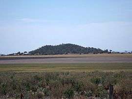 Mount Irving, 2014 | |||||||||||||||
 Mount Irving | |||||||||||||||
| Coordinates | 27°31′S 151°34′E / 27.517°S 151.567°ECoordinates: 27°31′S 151°34′E / 27.517°S 151.567°E | ||||||||||||||
| Population | 15 (2016 census)[1] | ||||||||||||||
| Postcode(s) | 4401 | ||||||||||||||
| LGA(s) | Toowoomba Region | ||||||||||||||
| State electorate(s) | Condamine | ||||||||||||||
| |||||||||||||||
Mount Irving is a locality in the Toowoomba Region local government area of the Darling Downs in southern Queensland, Australia. At the 2016 Australian Census, Mount Irving recorded a population of 15.[1]
References
- 1 2 Australian Bureau of Statistics (27 June 2017). "Mount Irving (State Suburb)". 2016 Census QuickStats. Retrieved 25 March 2018.

This article is issued from
Wikipedia.
The text is licensed under Creative Commons - Attribution - Sharealike.
Additional terms may apply for the media files.