Linthorpe, Queensland
| Linthorpe Queensland | |||||||||||||||
|---|---|---|---|---|---|---|---|---|---|---|---|---|---|---|---|
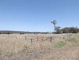 Fields and windmill along Biddeston Linthorpe Road, 2014 | |||||||||||||||
 Linthorpe | |||||||||||||||
| Coordinates | 27°36′S 151°39′E / 27.600°S 151.650°ECoordinates: 27°36′S 151°39′E / 27.600°S 151.650°E | ||||||||||||||
| Population | 440 (2016 census)[1] | ||||||||||||||
| Postcode(s) | 4356 | ||||||||||||||
| LGA(s) | Toowoomba Region | ||||||||||||||
| State electorate(s) | Condamine | ||||||||||||||
| |||||||||||||||
Linthorpe is a locality in the Toowoomba Region of the Darling Downs in southern Queensland, Australia. At the 2016 Australian Census Linthorpe and surrounds recorded a population of 440.[1]
Mount Haystack, Majuba Hill and Dummies Mountain are all located in Linthorpe. The Gore Highway marks the southern boundary of Linthorpe.
References
- 1 2 Australian Bureau of Statistics (27 June 2017). "Linthorpe (State Suburb)". 2016 Census QuickStats. Retrieved 25 March 2018.

This article is issued from
Wikipedia.
The text is licensed under Creative Commons - Attribution - Sharealike.
Additional terms may apply for the media files.