Lumajang Regency
| Lumajang Regency | ||
|---|---|---|
| Regency | ||
| ||
|
Motto(s): Amreta Brata Wira Bhakti (Eternal benefaction is an attitude full of devotion) | ||
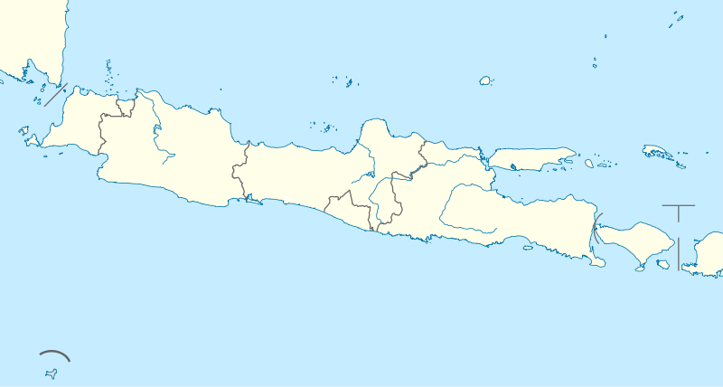
 Location within East Java | ||
| Coordinates: 8°08′S 113°13′E / 8.133°S 113.217°E | ||
| Country | Indonesia | |
| Province | East Java | |
| Capital | Lumajang | |
| Government | ||
| • Regent | As'at | |
| • Vice Regent | Buntaran Suprianto | |
| Area | ||
| • Total | 1,790.90 km2 (691.47 sq mi) | |
| Population (2014) | ||
| • Total | 1,034,730 | |
| • Density | 580/km2 (1,500/sq mi) | |
| Time zone | UTC+7 (IWST) | |
| Area code | (+62) 334 | |
| Website |
lumajangkab | |


Lumajang Regency is a Regency (kabupaten) located in the East Java province of Indonesia. It covers an area of 1,790.90 sq. km, and had a population of 1,006,458 at the 2010 Census;[1] the latest official estimate (as at 2014) is 1,034,730. It shares its borders with Jember Regency (to the east), Probolinggo Regency (to the north), and Malang Regency (to the west). It borders the Indian Ocean to the south.
Geography
Lumajang is located approximately 150 km southeast of Surabaya. Its temperature ranges between 24 °C to 32 °C.
History
Lumajang is one of the ancient cities in Java which still exist up to this day.[2] According to Mula Malurung artifact (dated 1177 Saka), Lumajang was then ruled by King Nararyya Kirana Sminingrat. The date of the artifact, which is 15 December 1255 in the Gregorian calendar, was decided as the date of establishment of Lumajang. Menhirs found in the districts of Senduro, Gucialit, Sukodono, Klakah, and Lumajang reveal that in prehistoric times, the present area of Lumajang had already been inhabited long before the date of Mula Malurung artifact.[2]
Administrative districts
Lumajang Regency is divided into 21 districts (;kecamatan), sub-divided into 202 smaller areas. The districts are (with their populations at the 2010 Census[3]) are:
|
|
|
Demographics
The population comprises Javanese, Madurese, Chinese Indonesians, and Tenggerese.
Economy
One of the famous fruit produces from this region is pisang agung, a kind of banana (pisang) which weighs up to 3 kg and measures up to 0.5 m. Some people have proposed to name pisang with plantain, as it should be cooked first before it can be eaten.
Places of interest

- Agrowisata Royal Family (agro, fruit picking centers, outbound, and family vacation spot)
- Selokambang—a natural swimming pool
- The Triangle Lake, which consists of three crater lakes (Ranu Klakah, Ranu Bedali, Ranu Pakis)
- Ranu Pane, Ranu Regulo, Ranu Kumbolo—crater lakes at the slope of Mount Semeru
- Mount Semeru
- Tetes Cave
- Mandara Giri Temple
- Piket Nol (highway place where we can see Cold Lava from Semeru)
- Tumpak Sewu Waterfalls
References
- ↑ Biro Pusat Statistik, Jakarta, 2011.
- 1 2 "A Brief History of Lumajang". lumajang.in. Retrieved 2008-10-01.
- ↑ Biro Pusat Statistik, jakarta, 2011.
External links
| Wikimedia Commons has media related to Lumajang Regency. |
| Wikivoyage has a travel guide for Lumajang. |
- (in Indonesian) Official website
- Tourism site