Lasbela District
| Lasbela District ضلع لسبیلہ | |
|---|---|
| District | |
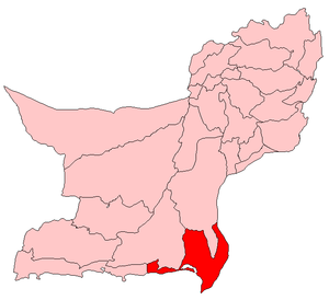 Map of Balochistan with Lasbela District highlighted | |
| Coordinates: 20°13′38″N 66°18′22″E / 20.22722°N 66.30611°E | |
| Country | Pakistan |
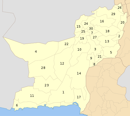
| Province | Balochistan |
| Established | June 1954[1] |
| Headquarters | Uthal |
| Government | |
| • Deputy Commissioner | Mujeeb-ur-Rehman |
| • Commissioner | Muhammad Hashim Ghilzai |
| Area | |
| • Total | 12,574 km2 (4,855 sq mi) |
| Population (2017)[2] | |
| • Total | 574,292 |
| • Density | 46/km2 (120/sq mi) |
| Time zone | UTC+5 (PST) |
| Number of Tehsils | 5 |
| Website | www.lasbeladistrictgovt.com |
Lasbela (Urdu and Balochi: لسبیلہ) is a coastal district of Balochistan province of Pakistan. It became a separate district in Kalat Division on 30 June 1954. Uthal is the district headquarters. The district is divided into Five Tehsil and 22 union councils.
Administration
The district of Lasbela is administratively divided in five tehsils and 22 Union Councils. [3]
Geography
The main rivers of Lasbela are Porali with its tributaries, Winder and Wirhab River. Other rivers are the Phor and Hingol which rise in Awaran District before flowing through Lasbela on their way to the Arabian Sea.[4]
Demographics
The population according to the 1998 census was 313,000,[5] 37% of which resided in urban areas.[6] The overal literacy rate was 22.3% with a large disparity between males (32.2%) and females (10.5%).[7]
According to the 1998 census, 98.33% of the overall population were Muslim, while 1.37% were Hindu and 0.14% – Christian.[6] The major languages are Balochi (65%) and Sindhi (24%).[8] The main ethnic groups are the Balochis and the Lasis, the latter of which speak the Lasi dialect of Sindhi.
Education
The Lasbela University of Agriculture, Water and Marine Science is located in Uthal.
Economy
In the south east, oil refinery was constructed in 2014, which is capable of processing 120,000 barrels of oil. Furthermore, a power station is located adjacent to refinery, that produces about 1350 MW of power.[9] Several Cement Plants, Marble factory and one of the largest ship breaking yard are also located there.
References
- ↑ History of Lasbela – Las Bela District Government Archived 2007-10-06 at the Wayback Machine.
- ↑ "DISTRICT WISE CENSUS RESULTS CENSUS 2017" (PDF). www.pbscensus.gov.pk.
- ↑
- ↑ 1998 Census report, p. 2.
- ↑ 1998 Census report, p. 21.
- 1 2 1998 Census report, p. 24.
- ↑ 1998 Census report, p. 31.
- ↑ 1998 Census report, p. 26.
- ↑
Bibliography
- 1998 District census report of Lasbela. Census publication. 57. Islamabad: Population Census Organization, Statistics Division, Government of Pakistan. 1999.
Educational Inistitute
- Lasbela University of Agriculture, Water and Marine Science
- LUAWMS Inter College
- Degree College Bela
= High School Goth Siyan
External links
| Wikimedia Commons has media related to Lasbela District. |