Frankendorf
| Frankendorf | |
|---|---|
 Frankendorf Location of Frankendorf within Weimarer Land district 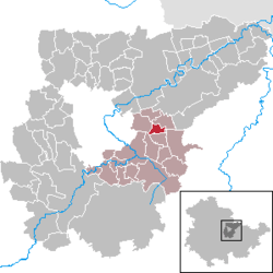 | |
| Coordinates: 50°58′6″N 11°26′58″E / 50.96833°N 11.44944°ECoordinates: 50°58′6″N 11°26′58″E / 50.96833°N 11.44944°E | |
| Country | Germany |
| State | Thuringia |
| District | Weimarer Land |
| Municipal assoc. | Mellingen |
| Government | |
| • Mayor | Karl Krämer |
| Area | |
| • Total | 2.68 km2 (1.03 sq mi) |
| Elevation | 270 m (890 ft) |
| Population (2017-12-31)[1] | |
| • Total | 154 |
| • Density | 57/km2 (150/sq mi) |
| Time zone | CET/CEST (UTC+1/+2) |
| Postal codes | 99441 |
| Dialling codes | 036453 |
| Vehicle registration | AP |
Frankendorf is a municipality in the Weimarer Land district of Thuringia, Germany.
References
| Authority control |
|---|
This article is issued from
Wikipedia.
The text is licensed under Creative Commons - Attribution - Sharealike.
Additional terms may apply for the media files.