Fay-les-Étangs
| Fay-les-Étangs | |
|---|---|
| Commune | |
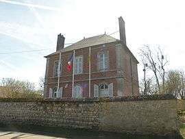 The town hall in Fay-les-Étangs | |
 Fay-les-Étangs Location within Hauts-de-France region  Fay-les-Étangs | |
| Coordinates: 49°14′49″N 1°56′26″E / 49.2469°N 1.9406°ECoordinates: 49°14′49″N 1°56′26″E / 49.2469°N 1.9406°E | |
| Country | France |
| Region | Hauts-de-France |
| Department | Oise |
| Arrondissement | Beauvais |
| Canton | Chaumont-en-Vexin |
| Intercommunality | Vexin Thelle |
| Government | |
| • Mayor (2008–2014) | Thierry Ananos |
| Area1 | 8.47 km2 (3.27 sq mi) |
| Population (2012)2 | 447 |
| • Density | 53/km2 (140/sq mi) |
| Time zone | UTC+1 (CET) |
| • Summer (DST) | UTC+2 (CEST) |
| INSEE/Postal code | 60228 /60240 |
| Elevation |
66–114 m (217–374 ft) (avg. 68 m or 223 ft) |
|
1 French Land Register data, which excludes lakes, ponds, glaciers > 1 km2 (0.386 sq mi or 247 acres) and river estuaries. 2 Population without double counting: residents of multiple communes (e.g., students and military personnel) only counted once. | |
Fay-les-Étangs is a commune in the Oise department in northern France.
See also
References
| Wikimedia Commons has media related to Fay-les-Étangs. |
This article is issued from
Wikipedia.
The text is licensed under Creative Commons - Attribution - Sharealike.
Additional terms may apply for the media files.