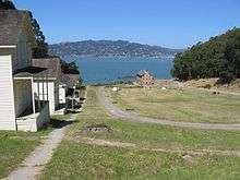
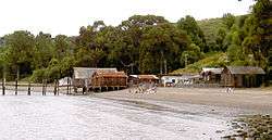
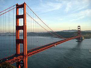
List table of the properties and districts — listed on the California Historical Landmarks — within Marin County, Northern California.
- Note: Click the "Map of all coordinates" link to the right to view a Google map of all properties and districts with latitude and longitude coordinates in the table below.
See also
|
|---|
|
|---|
| National Parks | |
|---|
| National Preserves | |
|---|
| National Monuments | |
|---|
| National Seashores | |
|---|
| National Historical Parks | |
|---|
| National Historic Sites | |
|---|
| National Memorials | |
|---|
| National Recreation Areas | |
|---|
|
|
|
|---|
| State Parks | |
|---|
State
Natural Reserves | |
|---|
State
Marine Reserves | |
|---|
State
Historic Parks | |
|---|
| State Beaches | |
|---|
State
Recreation Areas | |
|---|
State Vehicular
Recreation Areas | |
|---|
| Other | |
|---|
|
|
|
|---|
National Forests
and Grasslands | |
|---|
National Wilderness
Preservation System | |
|---|
National Monuments
and Recreation Areas | |
|---|
|
|
|
|
|
|---|
Wildlife
Areas | |
|---|
Ecological
Reserves |
- Albany Mudflats
- Alkali Sink
- Allensworth
- Atascadero Creek Marsh
- Bair Island
- Baldwin Lake
- Batiquitos Lagoon
- Blue Sky
- Boden Canyon
- Boggs Lake
- Bolsa Chica
- Bonny Doon
- Buena Vista Lagoon
- Butler Slough
- Butte Creek Canyon
- Butte Creek House
- Buttonwillow
- By Day Creek
- Calhoun Cut
- Canebrake
- Carlsbad Highlands
- Carmel Bay
- Carrizo Canyon
- Carrizo Plains
- China Point
- Clover Creek
- Coachella Valley
- Coal Canyon
- Corte Madera Marsh
- Crestridge
- Dairy Mart Ponds
- Dales Lake
- Del Mar Landing
- Eden Landing
- Elkhorn Slough
- Estelle Mountain
- Fall River Mills
- Fish Slough
- Fremont Valley
- Goleta Slough
- Indian Joe Spring
- Kaweah
- Kerman
- King Clone
- Laguna Laurel
- Loch Lomond Vernal Pool
- Lokern
- Magnesia Spring
- Marin Islands
- Mattole River
- McGinty Mountain
- Morro Dunes
- Morro Rock
- Napa River
- North Table Mountain
- Oasis Spring
- Panoche Hills
- Peytonia Slough
- Pine Hill
- Piute Creek
- Pleasant Valley
- Rancho Jamul
- Redwood Shores
- River Springs Lakes
- Saline Valley
- San Dieguito Lagoon
- San Elijo Lagoon
- San Felipe Creek
- San Joaquin River
- Santa Rosa Plateau
- Springville
- Stone Corral
- Sycamore Canyon
- Sycuan Peak
- Thomes Creek
- Tomales Bay
- Upper Newport Bay
- Watsonville Slough
- West Mojave Desert
- Woodbridge
- Yaudanchi
|
|---|
Marine
Protected
Areas | |
|---|
|
|
|
|---|
| National Monuments | |
|---|
National
Conservation Areas | |
|---|
| Wilderness Areas | |
|---|
|
|
|
|
|
|


