Bay of Hawakil
| Bay of Hawakil Howakil Bay | |
|---|---|
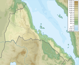 Bay of Hawakil Location in Eritrea | |
| Coordinates | 15°0′N 40°13′E / 15.000°N 40.217°ECoordinates: 15°0′N 40°13′E / 15.000°N 40.217°E |
| Ocean/sea sources | Red Sea |
| Basin countries | Eritrea |
| Max. length | 26 km (16 mi) |
| Max. width | 57 km (35 mi) |
| Islands | Hawakil Islands[1] |
| Settlements | Fiok, Akilo and Boholo |
Bay of Hawakil[2] or Howakil Bay[3] is a bay on the Red Sea, on the coast of Eritrea. The bay is full of islands.[1]
Geography
The Bay of Hawakil is located about 120 km east of Asmara. It is open towards the northeast and the Hawakil Islands fill the bay. The easternmost headland is Ras Herbe and the northernmost Ras Lamma Tacaito. The settlements of Fiok, Akilo and Boholo lie on the western shore of the bay.[2]
References
- 1 2 GoogleEarth
- 1 2 "Bay of Hawakil". Mapcarta. Retrieved 14 October 2016.
- ↑ Catherine Hutton (1819). The tour of Africa. Containing a concise account of all the countries in the quarter of the globe, hitherto visited by Europeans; with the manners and customs of the inhabitants. Vol 2. p. 2. Retrieved 14 October 2016.
This article is issued from
Wikipedia.
The text is licensed under Creative Commons - Attribution - Sharealike.
Additional terms may apply for the media files.