Dungonab Bay
| Dungonab Bay Dungunāb Bay | |
|---|---|
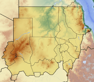 Dungonab Bay Location in Sudan | |
| Coordinates | 21°0′N 37°11′E / 21.000°N 37.183°ECoordinates: 21°0′N 37°11′E / 21.000°N 37.183°E |
| Ocean/sea sources | Red Sea |
| Basin countries | Sudan |
| Max. length | 33 km (21 mi) |
| Max. width | 12 km (7.5 mi) |
| Islands | Numerous[1] |
| UNESCO World Heritage site | |
| Part of | "Dungonab Bay – Mukkawar Island Marine National Park" part of Sanganeb Marine National Park and Dungonab Bay – Mukkawar Island Marine National Park |
| Criteria | Natural: (vii), (ix), (x) |
| Reference | 262rev-002 |
| Inscription | 2016 (40th Session) |
| Official name | Dongonab Bay-Marsa Waiai |
| Designated | 2 February 2009 |
| Reference no. | 1859[2] |
Dungonab Bay[3] or Dongonab Bay[4] a body of water on the coastline of Sudan on the Red Sea.
Geography
The Dungonab Bay is south-facing and is located 130 km to the north of Port Sudan. Its mid part, the Rawayah Lagoon, is surrounded by coral reefs. Together with Mukkawar Island and Sanganeb (an isolated coral reef), the area was declared the Dungonab Bay – Mukkawar Island Marine National Park and became a World Heritage Site in 2016.[5] It has been designated as a protected Ramsar site since 2009.[2]
See also
References
- ↑ GoogleEarth
- 1 2 "Dongonab Bay-Marsa Waiai". Ramsar Sites Information Service. Retrieved 25 April 2018.
- ↑ "Dungunāb". Mapcarta. Retrieved 14 October 2016.
- ↑ Dongonab Bay, Sudan - Geographical Names
- ↑ UNESCO - Sanganeb Marine National Park and Dungonab Bay – Mukkawar Island Marine National Park
This article is issued from
Wikipedia.
The text is licensed under Creative Commons - Attribution - Sharealike.
Additional terms may apply for the media files.