Batchawana Bay Provincial Park
| Batchawana Bay Provincial Park | |
|---|---|
|
IUCN category II (national park) | |
 | |
 Location of the park in Ontario | |
| Location | Ontario, Canada |
| Nearest city | Batchawana Bay, Ontario |
| Coordinates | 46°56′33″N 84°33′29″W / 46.94250°N 84.55806°W[1]Coordinates: 46°56′33″N 84°33′29″W / 46.94250°N 84.55806°W[1] |
| Area | 1.69 km2 (0.65 sq mi) |
| Established | 1973[2] |
| Governing body | Ontario Parks |
|
www | |
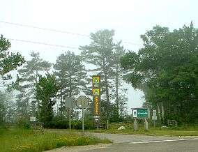
Batchawana Bay Provincial Park is a park in Algoma District, Ontario, Canada,[1] located 40 kilometres (25 mi) from Sault Ste. Marie on Ontario Highway 17, and on Batchawana Bay on Lake Superior. It is a day-park (no overnight camping), and is operated by the Ontario Ministry of Natural Resources. The mouth of the Carp River is at the west end of the park.
It is known for its natural, clean, sandy beach.
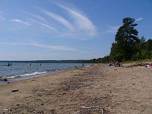
Batchawana Bay Provincial Park beach.
References
- 1 2 3 "Batchawana Bay Provincial Park". Geographical Names Data Base. Natural Resources Canada. Retrieved 2012-08-24.
- ↑ "Batchawana Provincial Park - Recreation". Protected Planet. Archived from the original on 28 August 2014.
External links
| National parks | 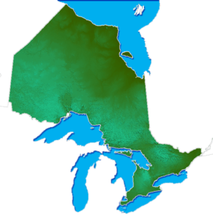 | |
|---|---|---|
| Provincial parks | ||
| Conservation areas | ||
| UNESCO Biosphere Reserves | ||
| National Historic Sites | ||
| Other areas | ||
| Former parks | ||
| ||
This article is issued from
Wikipedia.
The text is licensed under Creative Commons - Attribution - Sharealike.
Additional terms may apply for the media files.