Amvrosiivka
| Amvrosiivka Амвросіївка | |||
|---|---|---|---|
| |||
 Amvrosiivka  Amvrosiivka | |||
| Coordinates: 47°47′N 38°29′E / 47.783°N 38.483°ECoordinates: 47°47′N 38°29′E / 47.783°N 38.483°E | |||
| Country | Ukraine | ||
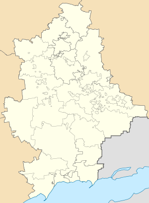
| Oblast | Donetsk | ||
| Founded | 1869 | ||
| City status | 1938 | ||
| Area | |||
| • Total | 19.4 km2 (7.5 sq mi) | ||
| Population (2012) | |||
| • Total | 19,021 | ||
| Climate | Dfa | ||
| Website | http://www.slavrada.gov.ua/ | ||

Amvrosiivka (Ukrainian: Амвросіївка; Russian: Амвросиевка; since 1869) is a city and the administrative center of the Amvrosiivka Raion within Donetsk Oblast (province), Ukraine. Its population is approximately 18,413 (2017 est.)[1].
It was first founded in 1869 as a train station settlement on the Kursk-Kharkiv-Azov Railway, and it received city status in 1938. Since 1896, a cement factory is located within the city, and cement production has been the dominant industry of the city.[2] Also located within the city is a history museum, industrial technical school, 6 schools, 11 libraries, 9 hospitals, a pharmacy, a movie theater, a club, and a sport stadium.
The city's population peaked at about 24,406 in 1979.[3]
On July 15, 2014, two Ukrainian soldiers were killed and eight wounded when Amvrosiivka was hit by several "Grad" rockets.
Demographics
Native language as of the Ukrainian Census of 2001:[4]
References
- ↑ "Чисельність наявного населення України (Actual population of Ukraine)" (in Ukrainian). State Statistics Service of Ukraine. Retrieved 26 August 2017.
- ↑ Амвросиевка entry Archived April 9, 2014, at the Wayback Machine., in The History of Cities and Villages of the Ukrainian SSR, Donetsk Oblast section pp. 138-48
- ↑ http://pop-stat.mashke.org/ukraine-cities.htm
- ↑
| Raions | |||||
|---|---|---|---|---|---|
| Cities |
| ||||
| |||||