Alian District
Coordinates: 22°53′N 120°20′E / 22.883°N 120.333°E
| Alian 阿蓮區 | |
|---|---|
| District | |
| Alian District [1] | |
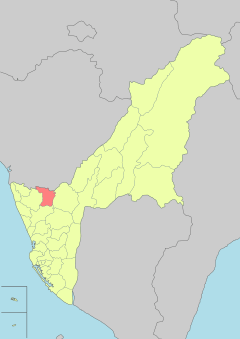 | |
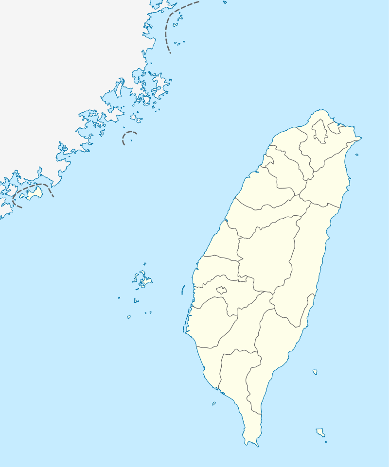 Alian Location in Taiwan | |
| Coordinates: 22°53′N 120°20′E / 22.883°N 120.333°E | |
| Country |
|
| Special municipality | Kaohsiung |
| Population (January 2016) | |
| • Total | 29,297 |
| Time zone | +8 |
Alian District (Chinese: 阿蓮區; pinyin: Ālián Qū; Wade–Giles: A1-lien2 Ch'ü1; Pe̍h-ōe-jī: A-lian-khu) is a rural district in Kaohsiung, Taiwan.
Geography
The district is located at the northeast side of Kaohsiung Plain on the north end of the western territory of Kaohsiung City, between Erren River and Agongdian River.[2]
Administrative divisions
The district consists of 12 villages.[3]
Tourist attractions
- Choufeng Temple
- Dagang Mountain Scenic Area
- Erren River
- Guander Temple[4]
See also
References
- ↑ "Glossary of Names for Admin Divisions" (PDF). placesearch.moi.gov.tw. Ministry of Interior of the ROC. Retrieved 12 June 2015.
- ↑ "Welcome to Alian District Office". Alian-en.kcg.gov.tw. 2010-11-19. Archived from the original on 2014-03-06. Retrieved 2014-05-25.
- ↑ Site, Alian Township Office Web (2 December 2010). "Alian Township Office Web Site".
- ↑ "光德寺全球資訊網". Chingjou.org.tw. Retrieved 2014-05-25.
External links
| Wikimedia Commons has media related to Alien District, Kaohsiung. |
Districts of Kaohsiung | ||
|---|---|---|
| Urban area | .svg.png) | |
| Fongshan region | ||
| Gangshan region | ||
| Cishan region | ||
| Mountain indigenous districts | ||
Note: Although Hanyu Pinyin is the national standard, the Kaohsiung Government names its districts based on Tongyong Pinyin. | ||
This article is issued from
Wikipedia.
The text is licensed under Creative Commons - Attribution - Sharealike.
Additional terms may apply for the media files.