Surrey River
The Surrey River, sometimes incorrectly spelled as the Surry River, a perennial river of the Glenelg Hopkins catchment, is located in the Western District of Victoria, Australia.
| Surrey | |
|---|---|
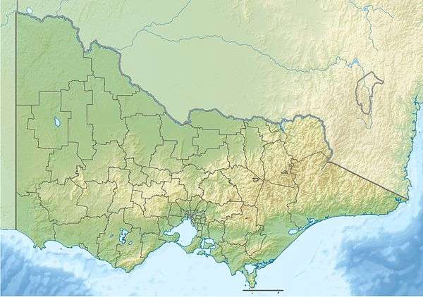 Location of the Surrey River mouth in Victoria | |
| Location | |
| Country | Australia |
| State | Victoria |
| Region | Victorian Midlands (IBRA), Western District |
| Local government area | Glenelg Shire |
| Town | Narrawong |
| Physical characteristics | |
| Source | Mount Kincaid |
| ⁃ location | north of Glenferrie |
| ⁃ coordinates | 38°9′25″S 141°21′53″E |
| ⁃ elevation | 146 m (479 ft) |
| Mouth | Portland Bay, Southern Ocean |
⁃ location | Narrawong |
⁃ coordinates | 38°15′37″S 141°41′57″E |
⁃ elevation | 0 m (0 ft) |
| Length | 46 km (29 mi) |
| Basin features | |
| River system | Glenelg Hopkins catchment |
| Tributaries | |
| ⁃ right | Mount Kincaid Creek |
| National park | Cobboboonee Forest Park |
| [1] | |
Location and features
The Surrey River rises on the northern slopes of Mount Kincaid, north of Glenferrie and flows generally east through the extensive Cobboboonee Forest Park, joined by one minor tributary before reaching its mouth and emptying into Portland Bay of the Southern Ocean at Narrawong. The river descends 146 metres (479 ft) over its 46-kilometre (29 mi) course.[1]
The river is traversed by the Henty Highway north of Heathmere and the Princes Highway near Narrawong.[1]
Etymology
The river was named by Thomas Mitchell on accepting the suggestion of the Henty Brothers.[2][3]
See also
- List of rivers in Victoria
References
- "Map of Surrey River, VIC". Bonzle Digital Atlas of Australia. Retrieved 21 June 2014.
- Mitchell, Thomas (1838). "Three Expeditions into the interior of Eastern Australia". London: Boone.
- Bird, Eric (12 October 2006). "Place Names on the Coast of Victoria" (PDF). Australian National Placename Survey (ANPS). Archived from the original (PDF) on 10 February 2011. Retrieved 10 September 2010.
|
This article is issued from Wikipedia. The text is licensed under Creative Commons - Attribution - Sharealike. Additional terms may apply for the media files.