Curdies River
The Curdies River is a perennial river of the Corangamite catchment, located in The Otways region of the Australian state of Victoria.
| Curdies | |
|---|---|
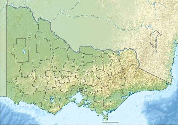 Location of the Curdies River mouth in Victoria | |
| Location | |
| Country | Australia |
| State | Victoria |
| Region | South East Coastal Plain (IBRA), The Otways |
| Local government area | Corangamite Shire |
| Physical characteristics | |
| Source | Otway Ranges |
| ⁃ location | Tandarook |
| ⁃ coordinates | 38°19′17″S 143°6′38″E |
| ⁃ elevation | 92 m (302 ft) |
| Mouth | Great Australian Bight |
⁃ location | Curdies Inlet, Peterborough |
⁃ coordinates | 38°36′19″S 142°52′54″E |
⁃ elevation | 0 m (0 ft) |
| Length | 66 km (41 mi) |
| Basin features | |
| River system | Corangamite catchment |
| Tributaries | |
| ⁃ left | Burnip Creek, Power Creek, Fenton Creek, Scotts Creek (Victoria), Spring Creek (Victoria) |
| ⁃ right | Abecketts Creek |
| National park | Port Campbell National Park |
| [1][2] | |
Location and features
Curdies River rises below the settlement of Tandarook in southwest Victoria, east of the settlement of Cobden and flows generally south by west, joined by six minor tributaries, before reaching its river mouth in the Port Campbell National Park and emptying into the Great Australian Bight at Curdies Inlet, at the settlement of Peterborough. From its highest point, the Curdies River descends 92 metres (302 ft) over its 66-kilometre (41 mi) course.[2]
The mouth is periodically blocked by sand. Sometimes, in order to avoid flooding around Peterborough, it has to be opened by excavation.[3]
References
- "Curdies River: 2153". Vicnames. Government of Victoria. 2 May 1966. Archived from the original on 3 June 2014. Retrieved 3 June 2014.
- "Map of Curdies River, VIC". Bonzle Digital Atlas of Australia. Retrieved 3 June 2014.
- Hynes, Steve (5 August 2013). "Rising Curdies River drama at Peterborough". The Standard. Retrieved 22 March 2020.
External links
- "Great Otway National Park". Parks Victoria. Government of Victoria. 2014.
- "Corangamite Catchment Management Authority". Government of Victoria. 2014. Archived from the original on 12 May 2014.
Rivers of the Corangamite catchment, Victoria, Australia | |
|---|---|
|
This article is issued from Wikipedia. The text is licensed under Creative Commons - Attribution - Sharealike. Additional terms may apply for the media files.