Crawford River (Victoria)
The Crawford River or Smoky River,[2] a perennial river of the Glenelg Hopkins catchment, is located in the Western District of Victoria, Australia.
| Crawford Smoky | |
|---|---|
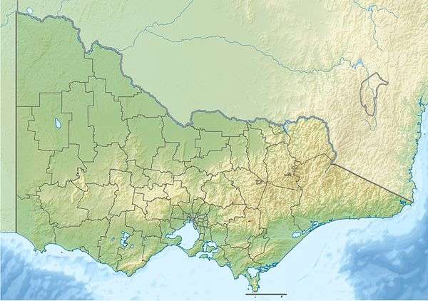 Location of the Crawford River mouth in Victoria | |
| Location | |
| Country | Australia |
| State | Victoria |
| Region | Victorian Midlands, Naracoorte Coastal Plain (IBRA), Western District |
| Local government area | Glenelg Shire |
| Town | Dartmoor |
| Physical characteristics | |
| Source | |
| • location | north of Branxholme |
| • coordinates | 37°47′50″S 141°48′25″E |
| • elevation | 127 m (417 ft) |
| Mouth | confluence with the Glenelg River |
• location | at Dartmoor |
• coordinates | 37°55′38″S 141°17′11″E |
• elevation | 16 m (52 ft) |
| Length | 75 km (47 mi) |
| Basin features | |
| River system | Glenelg Hopkins catchment |
| Tributaries | |
| • left | Portland Creek |
| • right | Kangaroo Creek, Deep Creek (Glenelg, Victoria) |
| National park | Crawford River Regional Park |
| [1] | |
Course and features
The Crawford River rises north of Branxholme, and flows generally west by south through the Crawford River Regional Park, before reaching its confluence with the Glenelg River at Dartmoor; descending 111 metres (364 ft) over its 75-kilometre (47 mi) course.[1]
References
- "Map of Crawford River, VIC". Bonzle Digital Atlas of Australia. Retrieved 20 June 2014.
- "Smoky River (VIC)". Gazetteer of Australia online. Geoscience Australia, Australian Government.
External links
- "Lower Glenelg National Park Management Plan" (PDF). Department of Conservation & Environment (PDF). Government of Victoria. May 1991. p. 17. ISBN 0-7306-2068-9. Archived from the original (PDF) on 3 November 2013.
|
This article is issued from Wikipedia. The text is licensed under Creative Commons - Attribution - Sharealike. Additional terms may apply for the media files.