Wando River (Victoria)
The Wando River, a perennial river of the Glenelg Hopkins catchment, is located in the Western District of Victoria, Australia.
| Wando | |
|---|---|
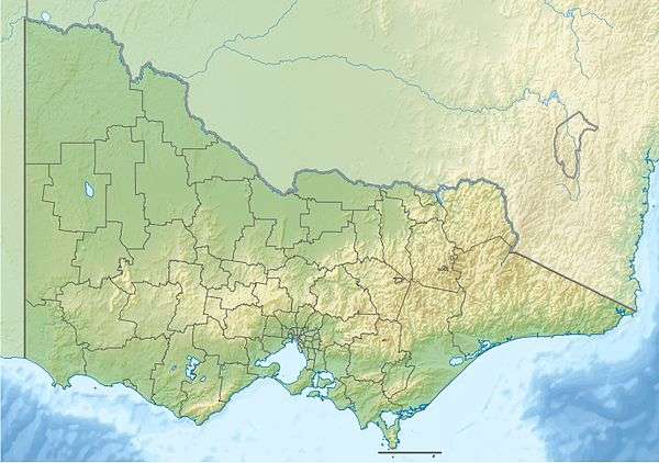 Location of the Wando River mouth in Victoria | |
| Location | |
| Country | Australia |
| State | Victoria |
| Region | Victorian Midlands (IBRA), Western District |
| Local government area | Glenelg Shire |
| Physical characteristics | |
| Source | |
| ⁃ location | north of Coleraine |
| ⁃ coordinates | 37°26′30″S 141°33′38″E |
| ⁃ elevation | 146 m (479 ft) |
| Mouth | confluence with the Macpherson Creek |
⁃ location | Wando, north of Casterton |
⁃ coordinates | 37°30′18″S 141°25′6″E |
⁃ elevation | 59 m (194 ft) |
| Length | 34 km (21 mi) |
| Basin features | |
| River system | Glenelg Hopkins catchment |
| [1] | |
Location and features
The Wando River rises north of Coleraine and flows generally west, then south before reaching its confluence with the Macpherson Creek, a tributary of the Glenelg River, near the locale of Wando, north of Casterton. The river descends 190 metres (620 ft) over its 34-kilometre (21 mi) course.[1]
See also
- List of rivers in Victoria
References
- "Map of Wando River, VIC". Bonzle Digital Atlas of Australia. Retrieved 21 June 2014.
|
This article is issued from Wikipedia. The text is licensed under Creative Commons - Attribution - Sharealike. Additional terms may apply for the media files.